Verified outbound camera link
Dominican Republic · north-facing
Puerto Plata and Cabarete
Thinking about Puerto Plata and Cabarete? Here is the current seaweed risk for this stretch of coast, what the season usually brings, and where to check with your own eyes. We do not score individual resorts, and no satellite can see this morning's sand; the cams below get you closest.
Compare this coast with another destination
Current seaweed risk level satellite-derived
Medium
Worth watching: NOAA puts this coast in its Medium seaweed-risk level for this observation. It measures seaweed approaching offshore, not what is on the sand right now; check a cam below for that.
Based on NOAA's update from .
On today's map
See for yourself
Check the beach with your own eyes
A camera shows one beach at one moment, so it cannot clear a whole destination. But it catches the thing no satellite can: what the sand and water look like right now.
Open camera
Verified outbound camera link
Dominican Republic cameras
Month by month editorial
What the season usually brings
A note on these labels: they reflect NOAA's guidance on the general Caribbean season, not satellite measurements of Puerto Plata and Cabarete specifically. We tested whether the satellite record could support beach-level month ratings, and it could not yet, so we will not pretend otherwise. Reviewed 2026-08-10. NOAA seasonal source
Jantypically lower
Febtypically lower
Marseason building
Aprseason building
Maytypically higher
Juntypically higher
Jultypically higher
Augtypically higher
Sepseason easing
Octseason easing
Novtypically lower
Dectypically lower
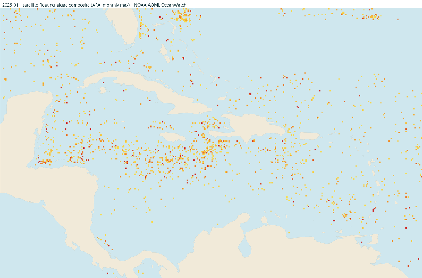
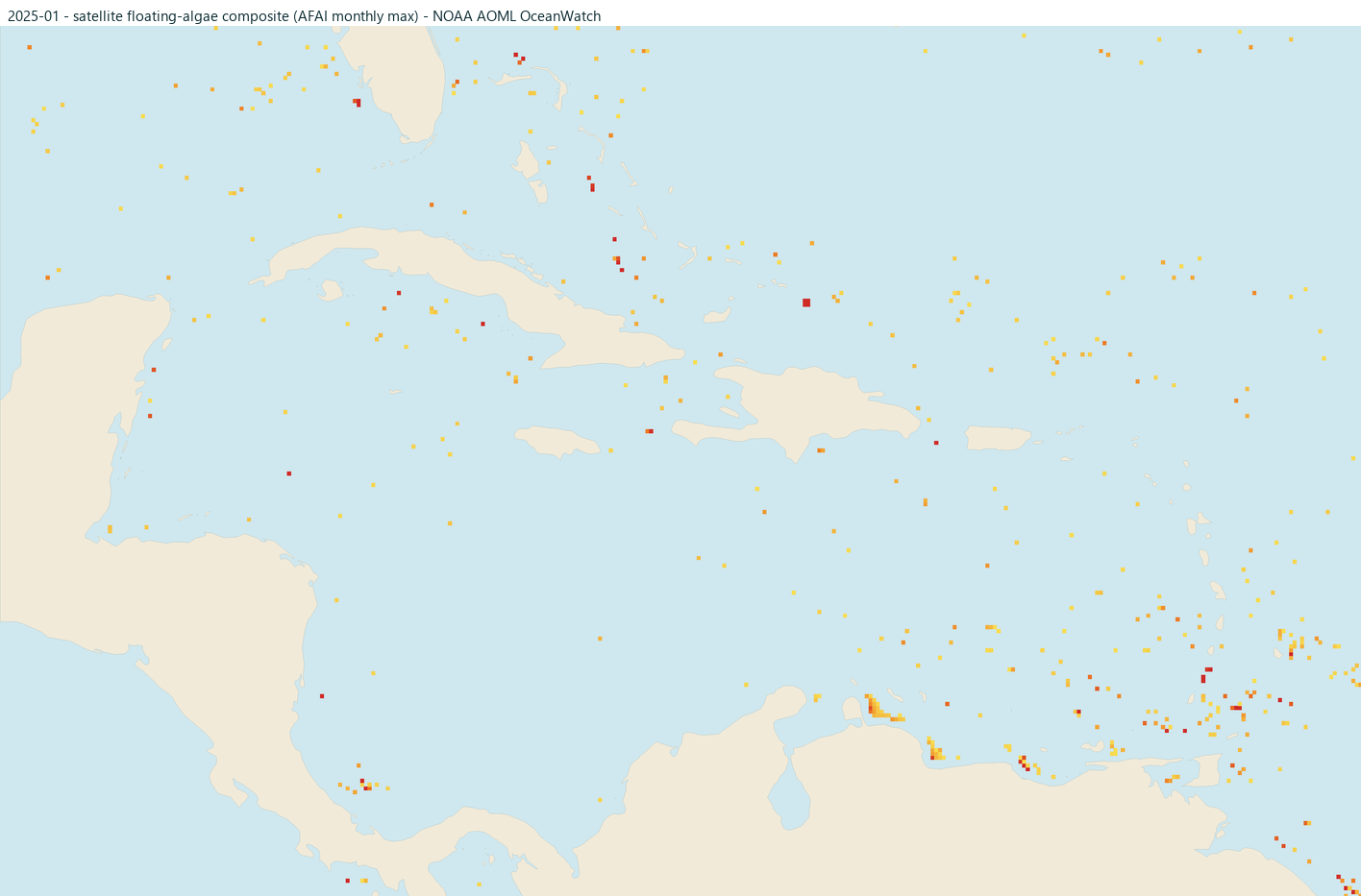
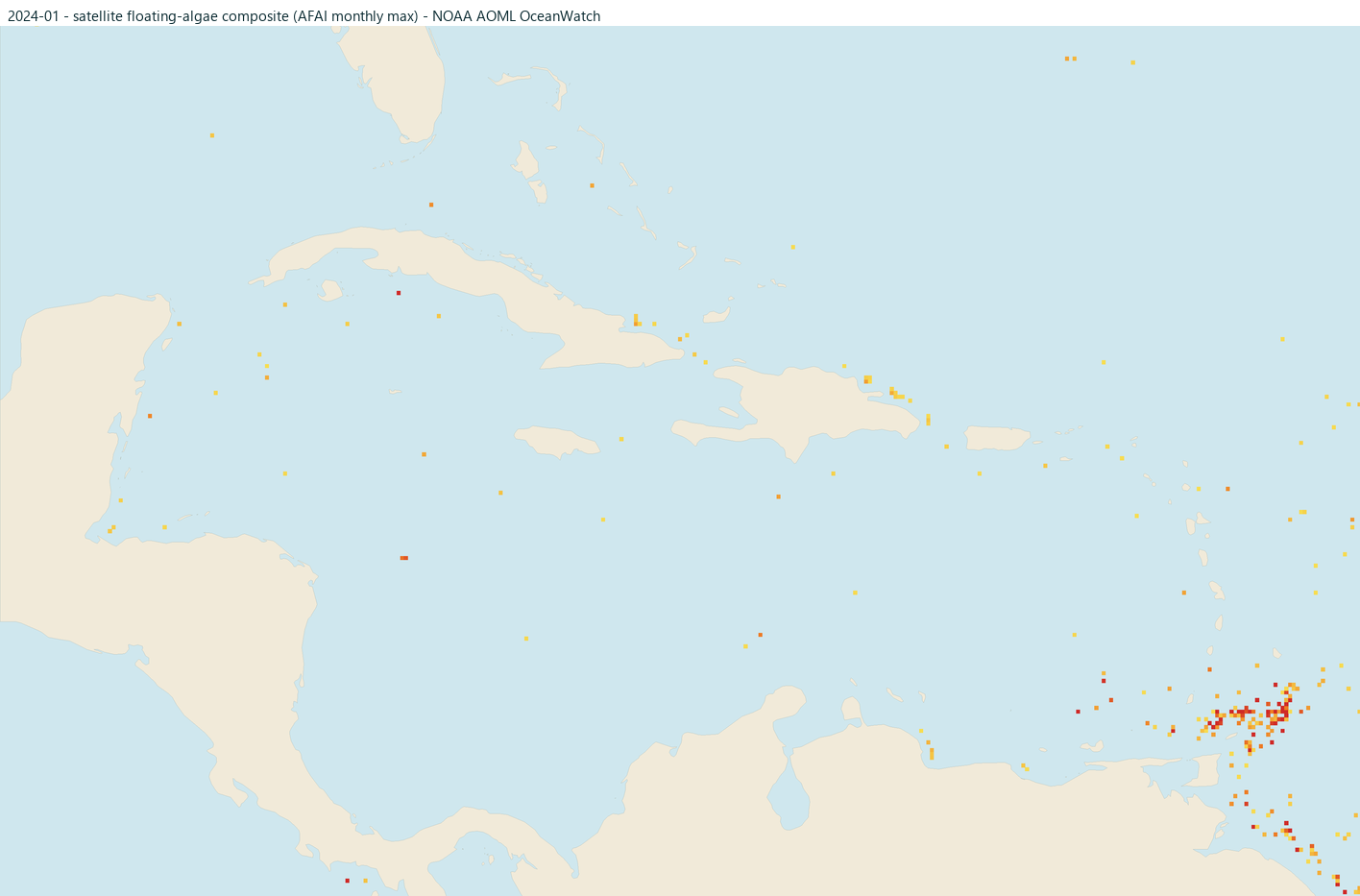
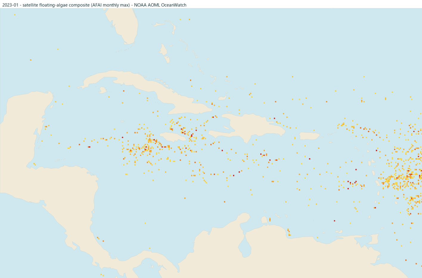
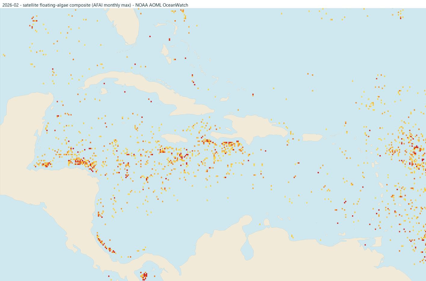
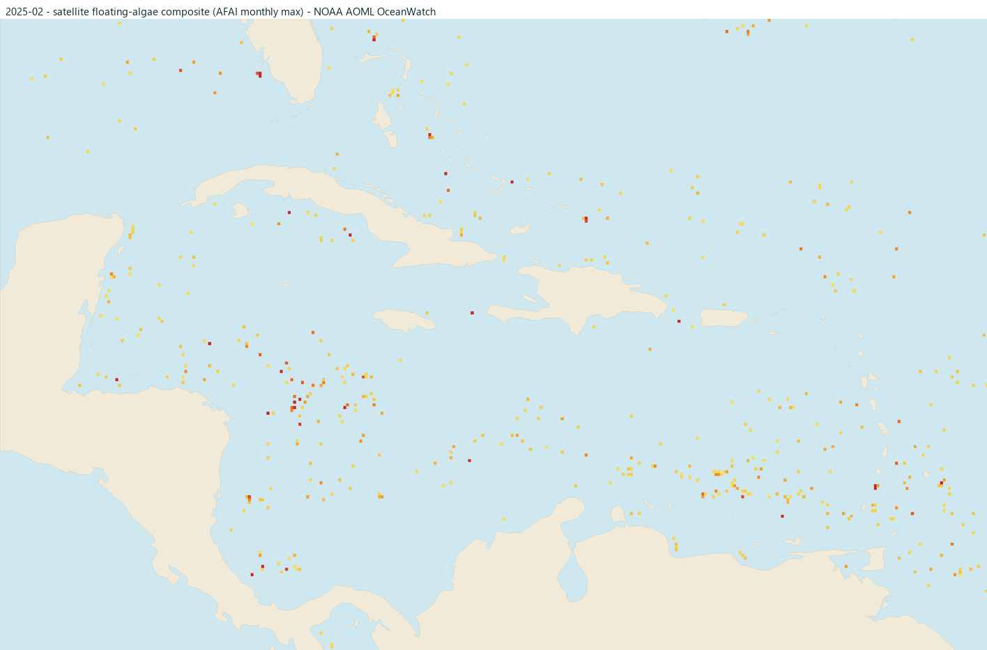
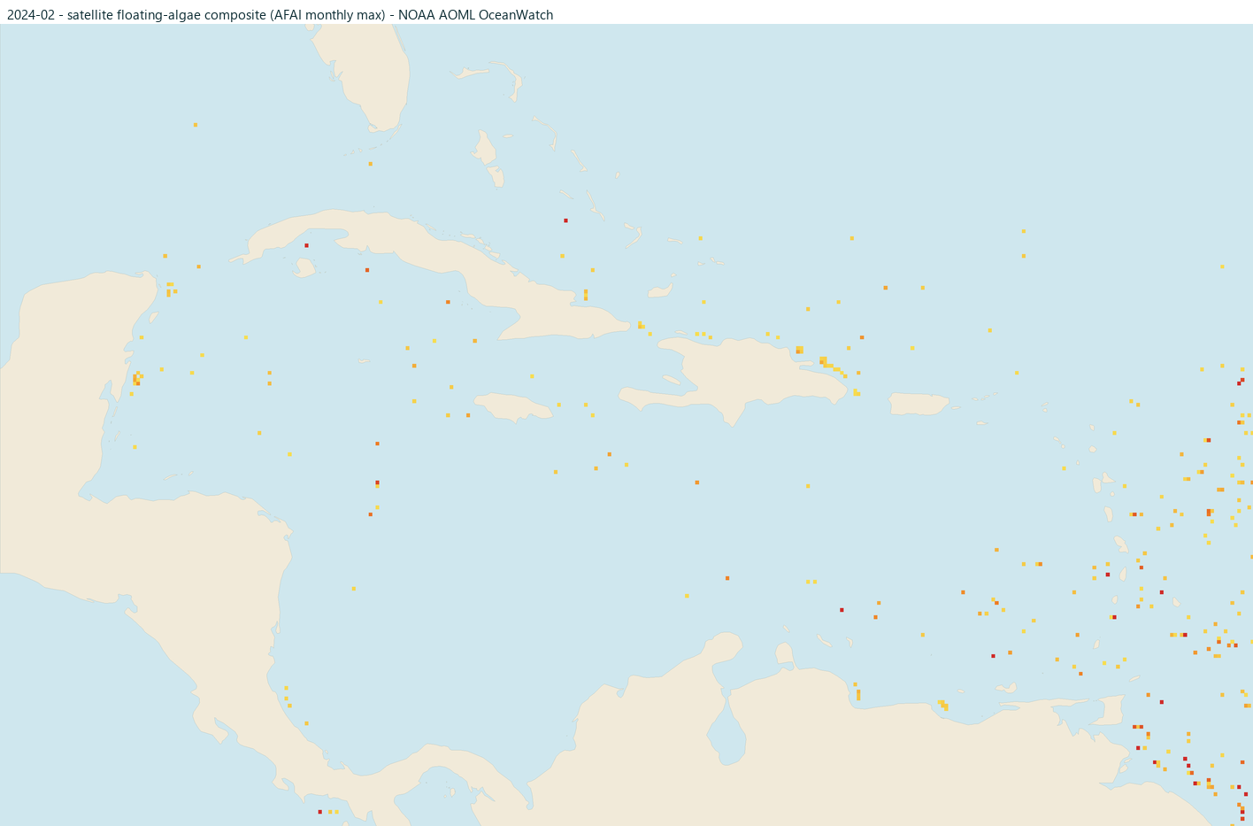
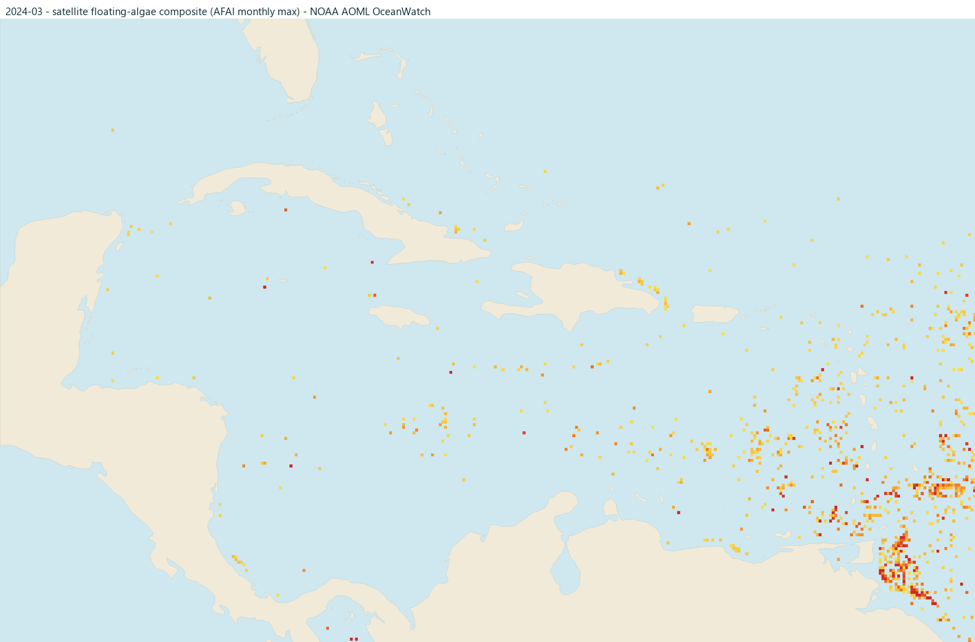
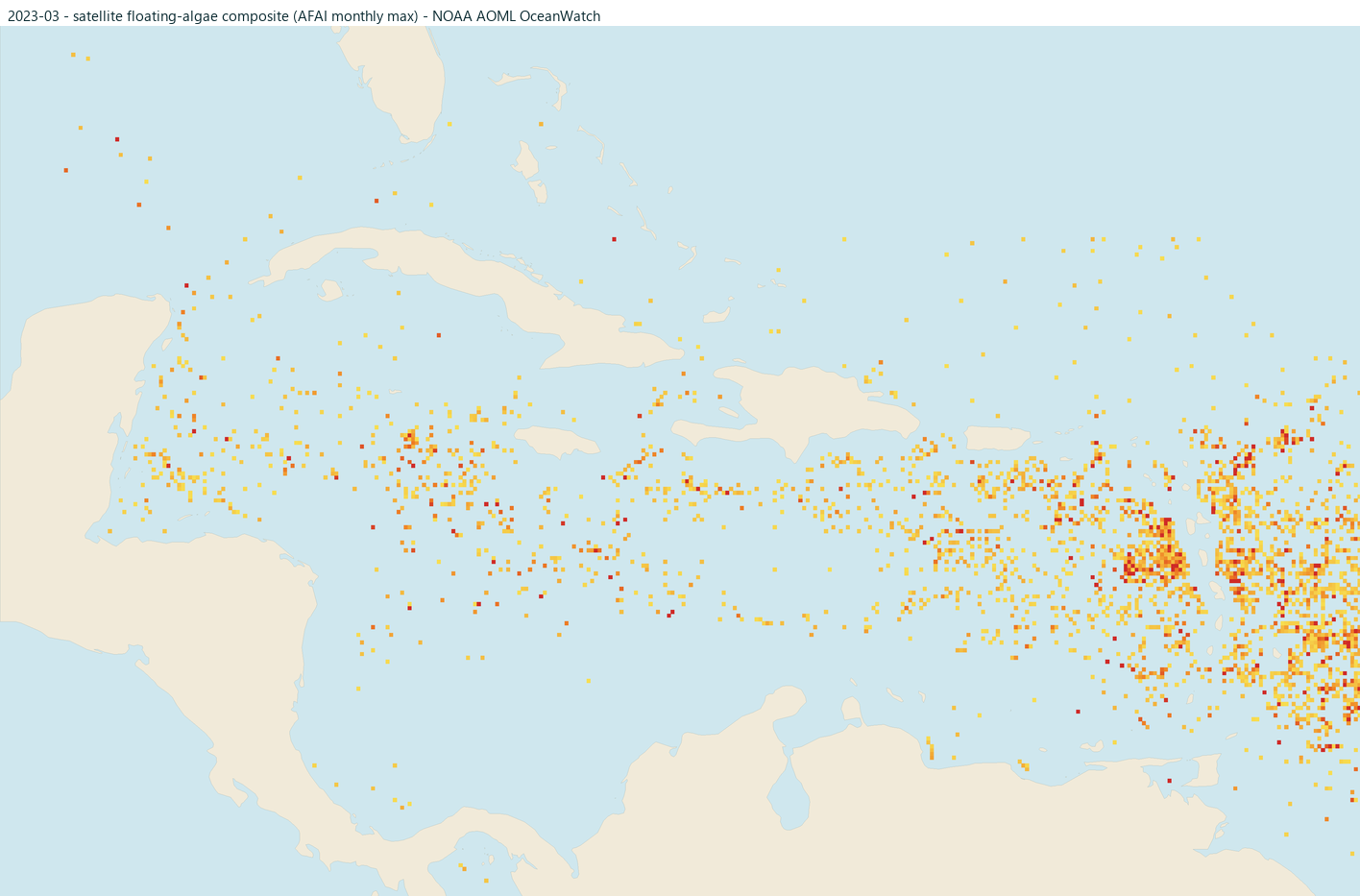
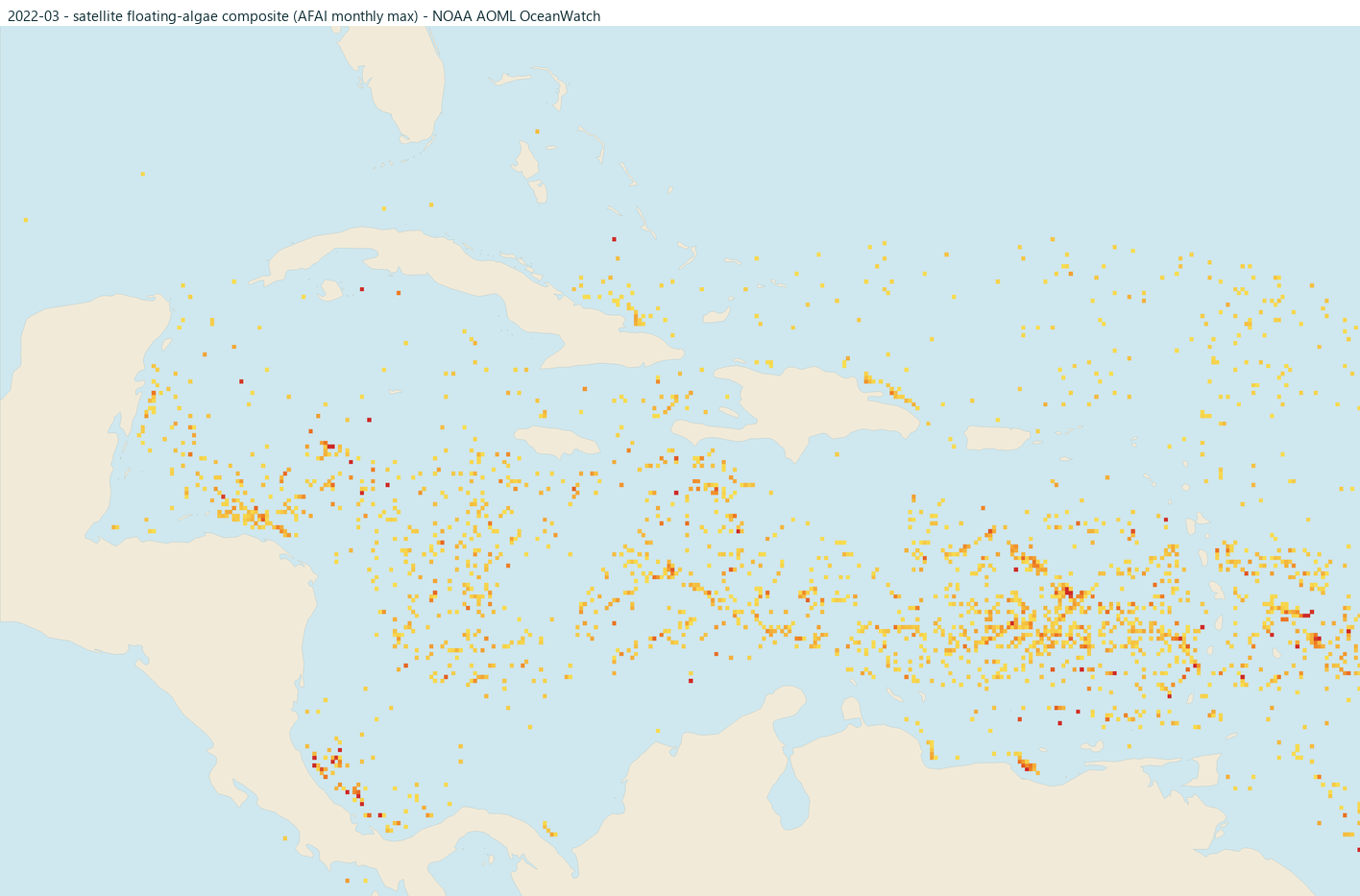
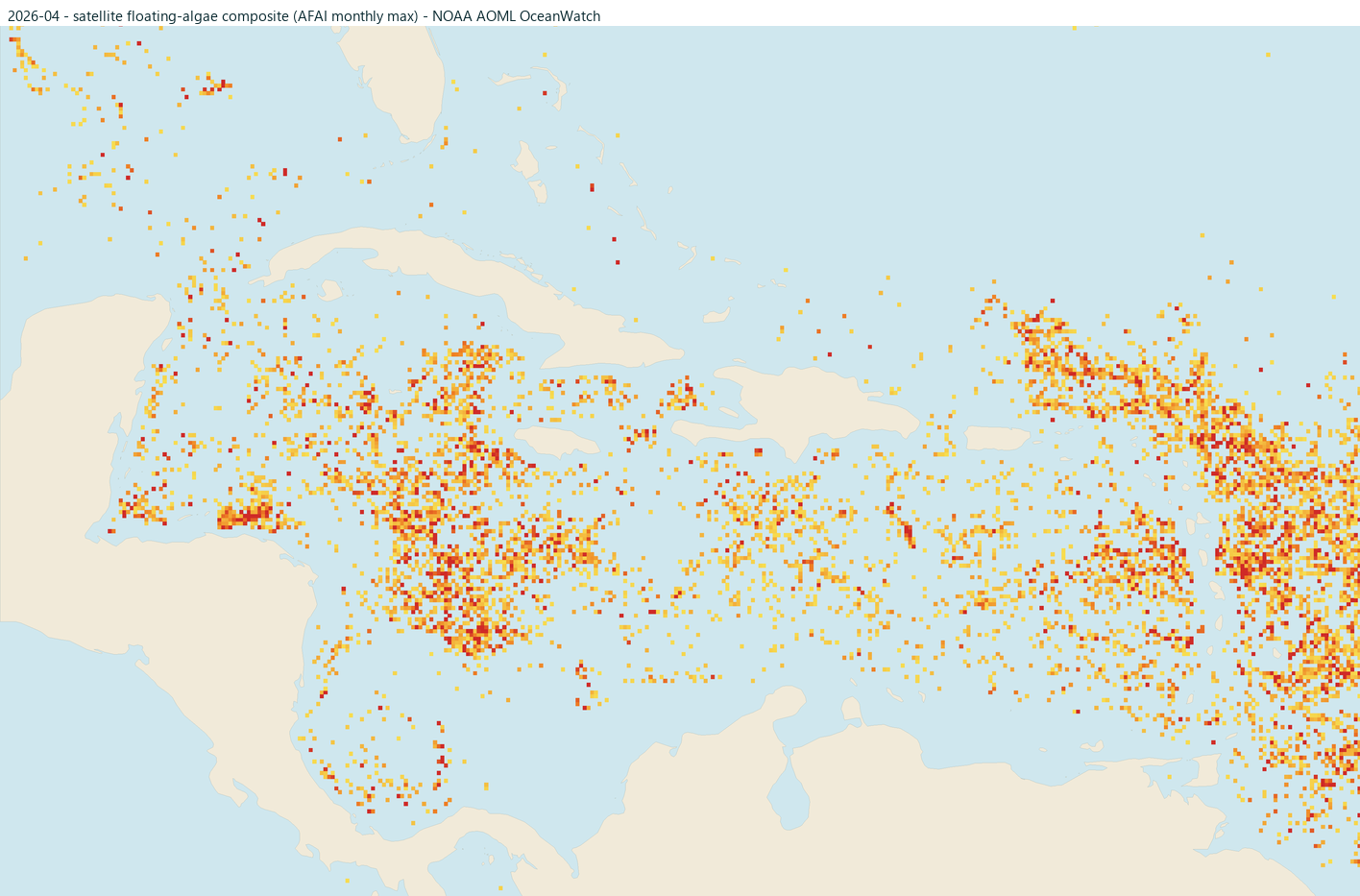
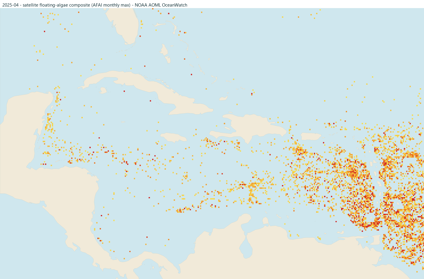
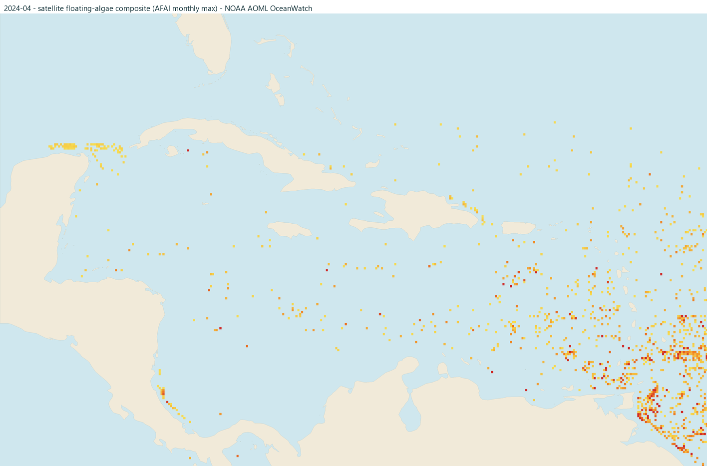
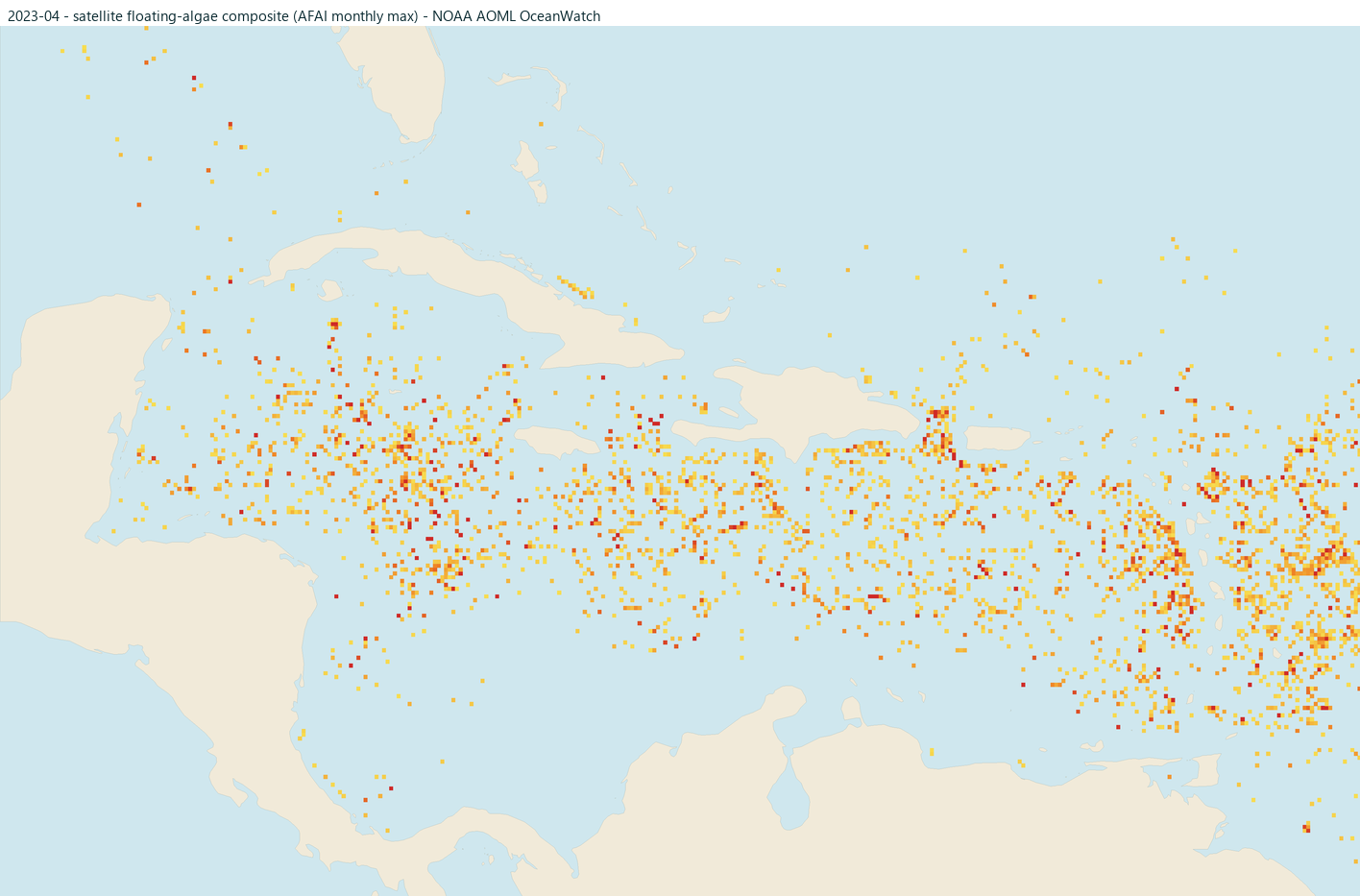
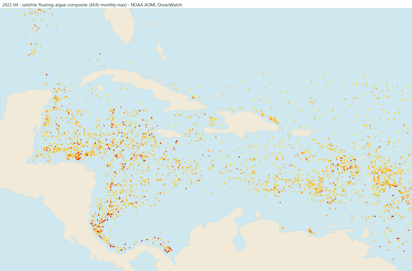
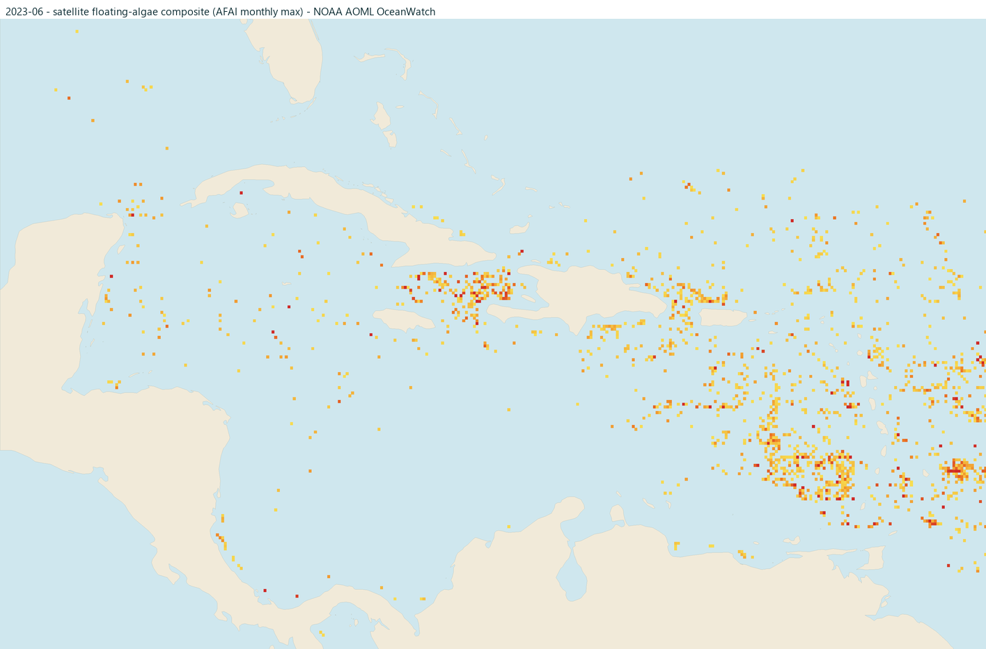
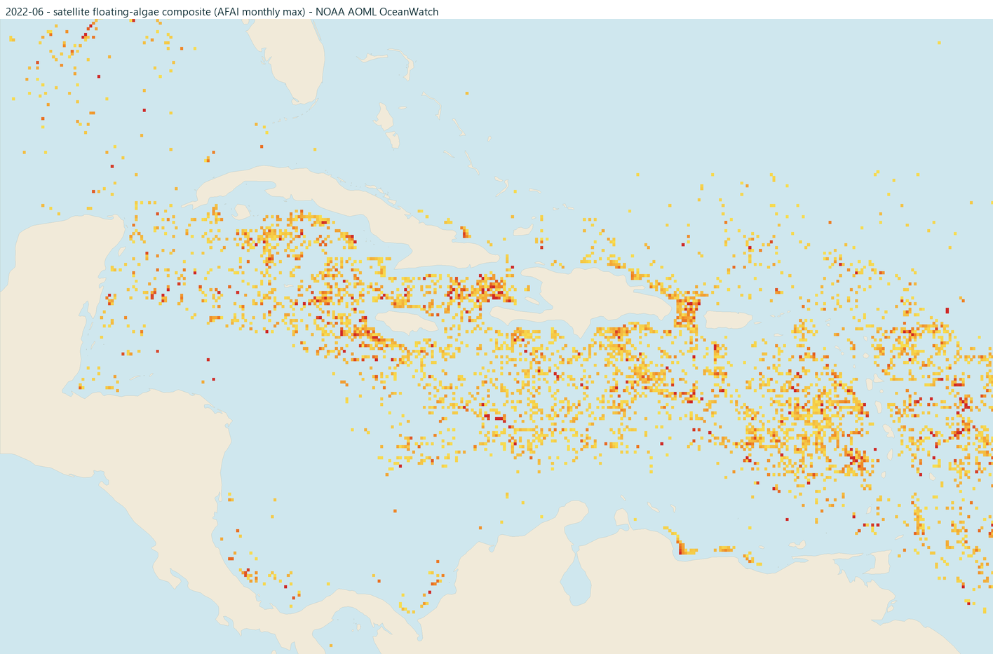
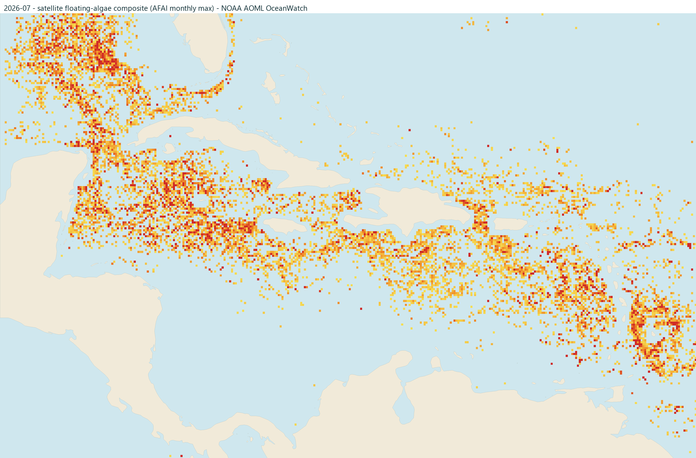
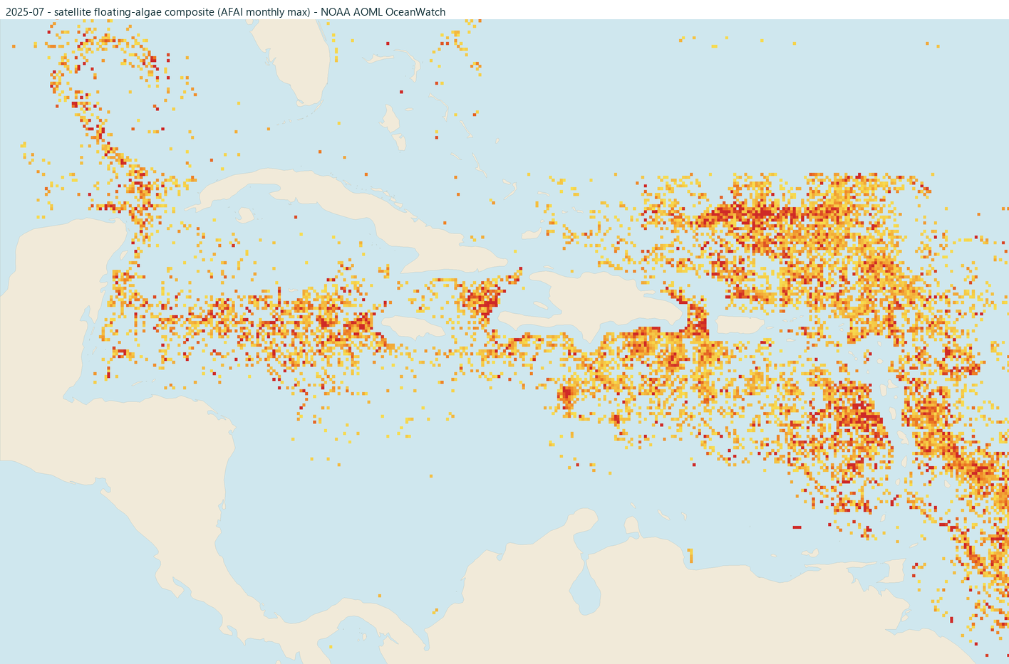
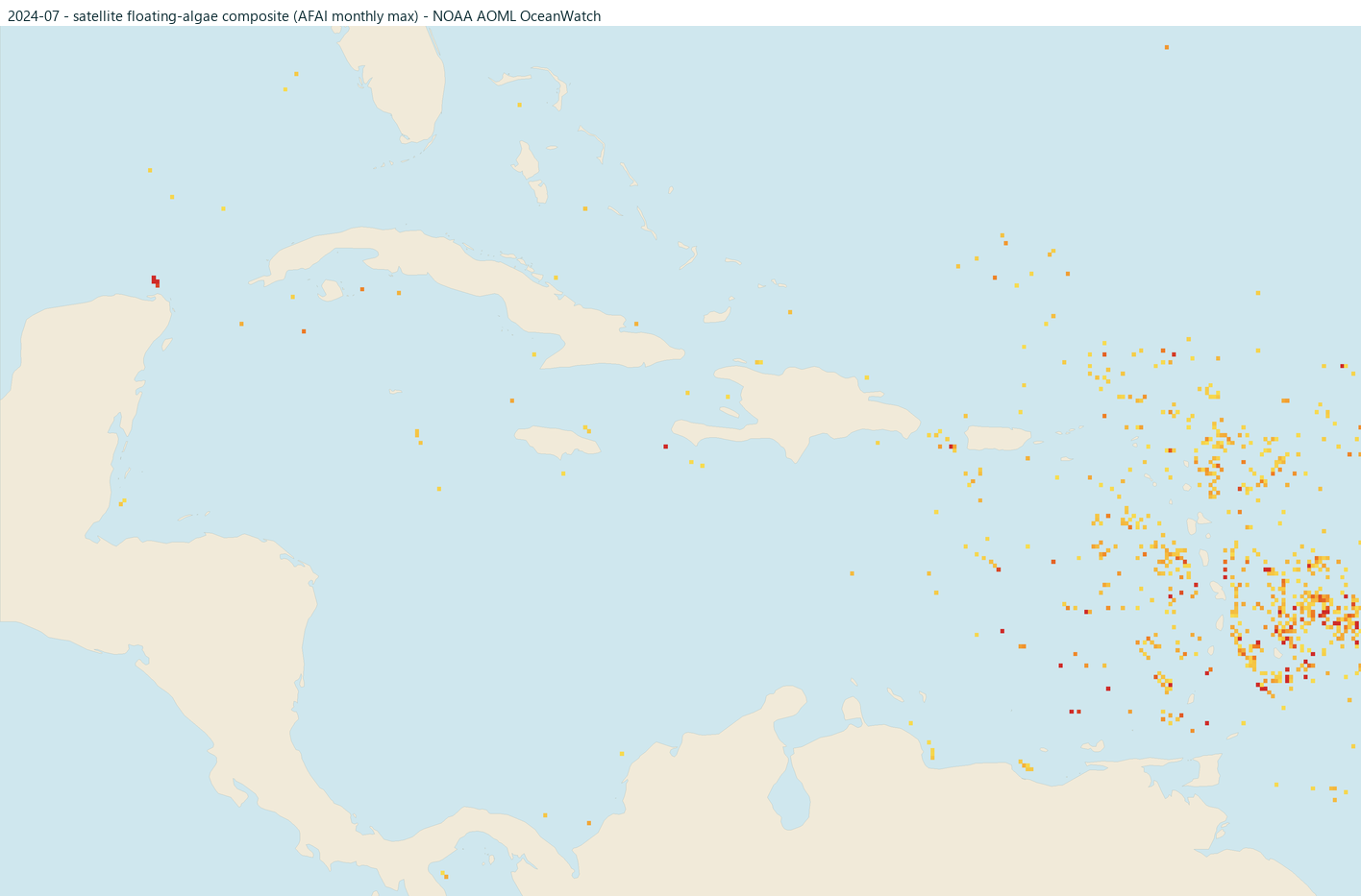
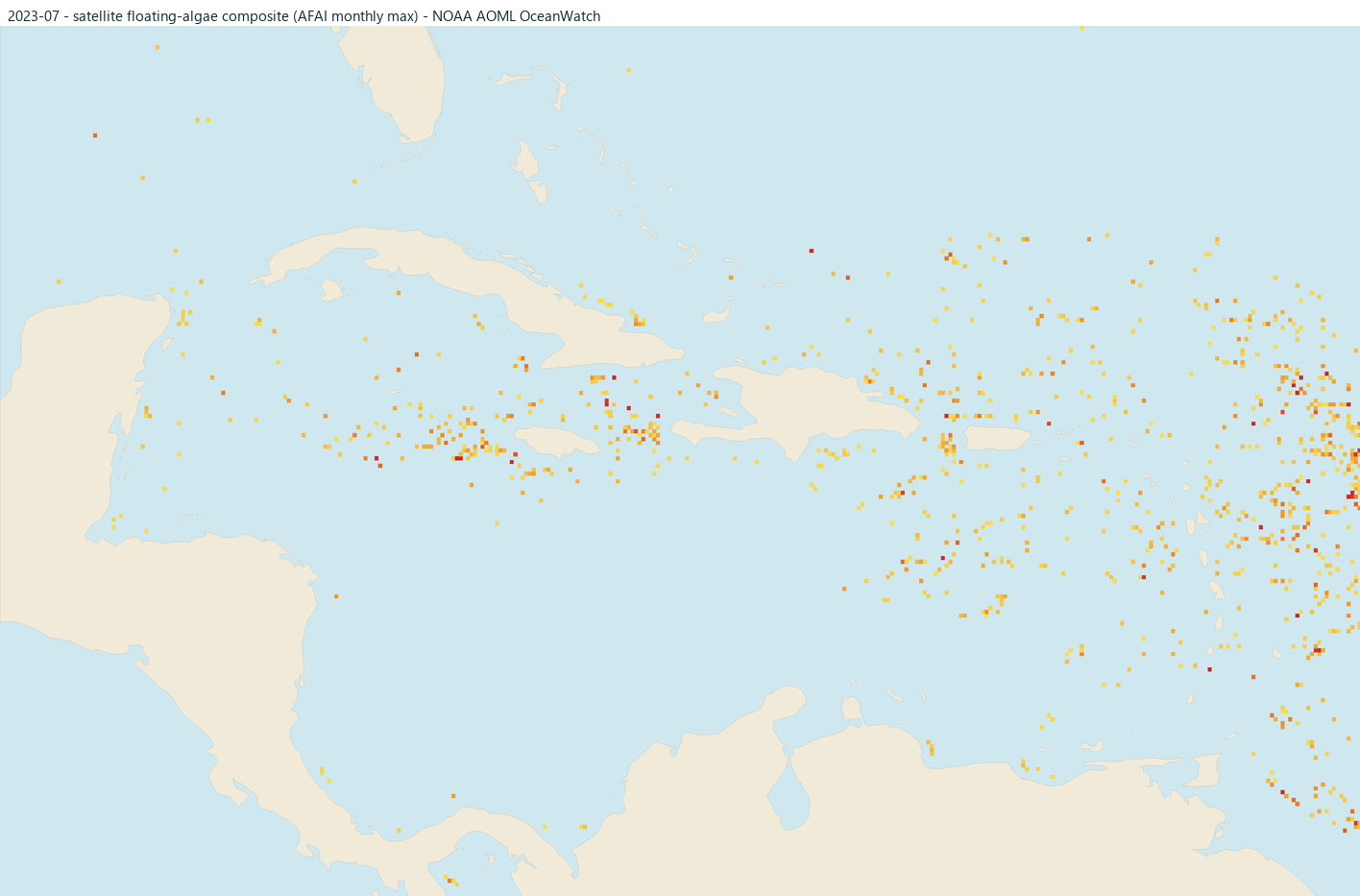
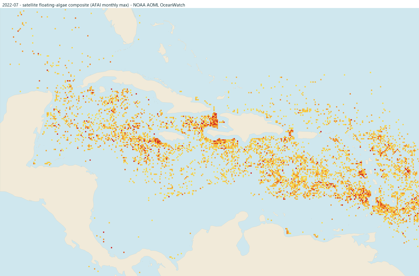
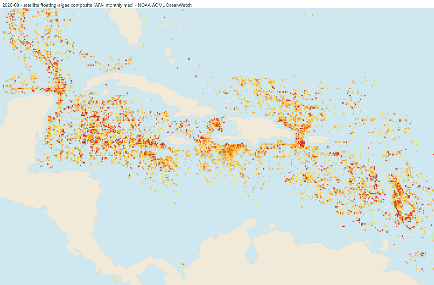
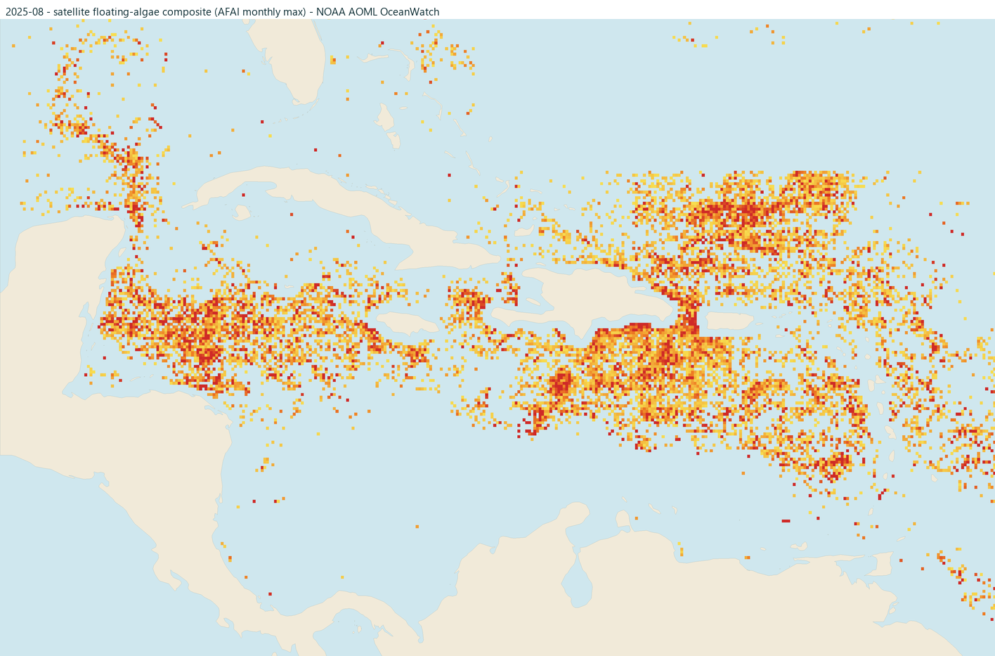
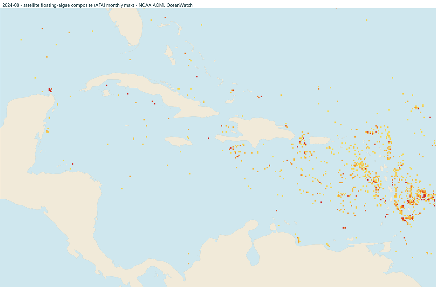
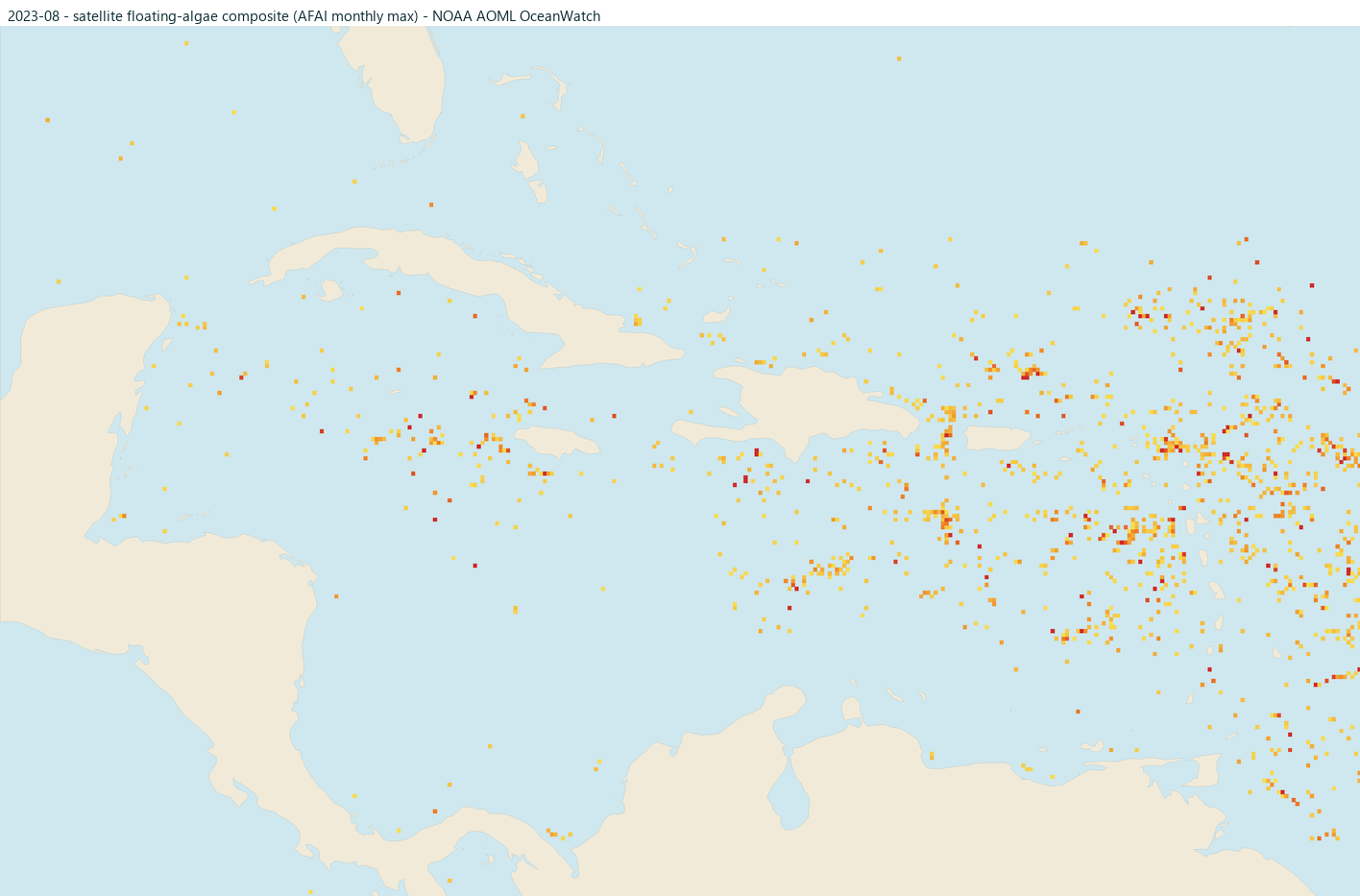
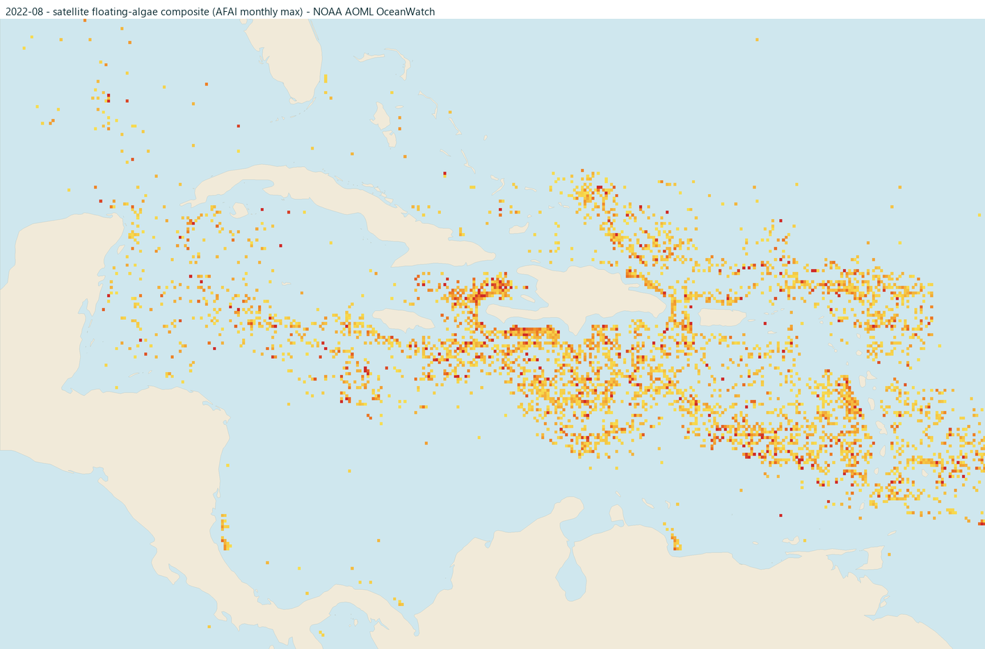
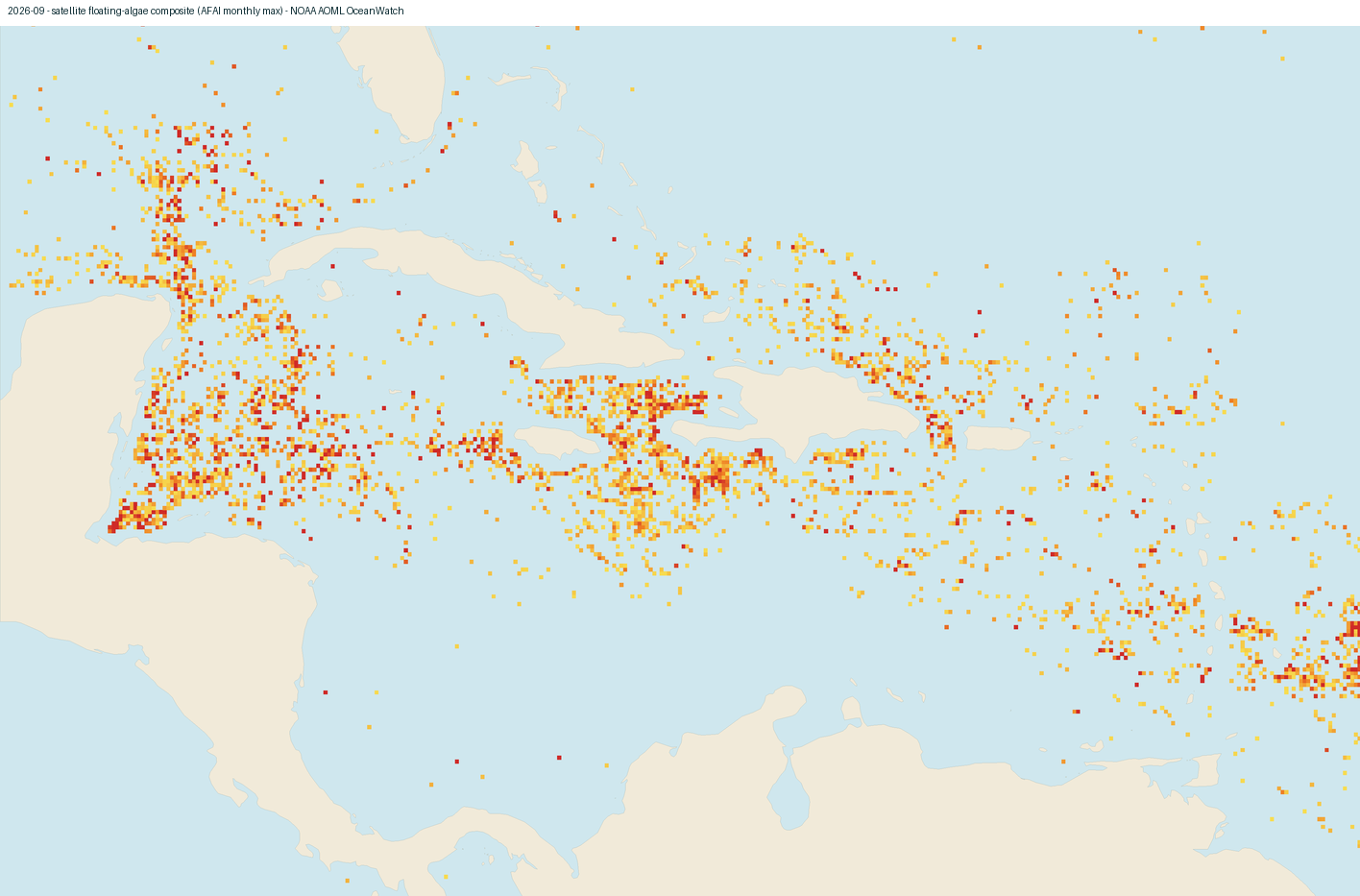
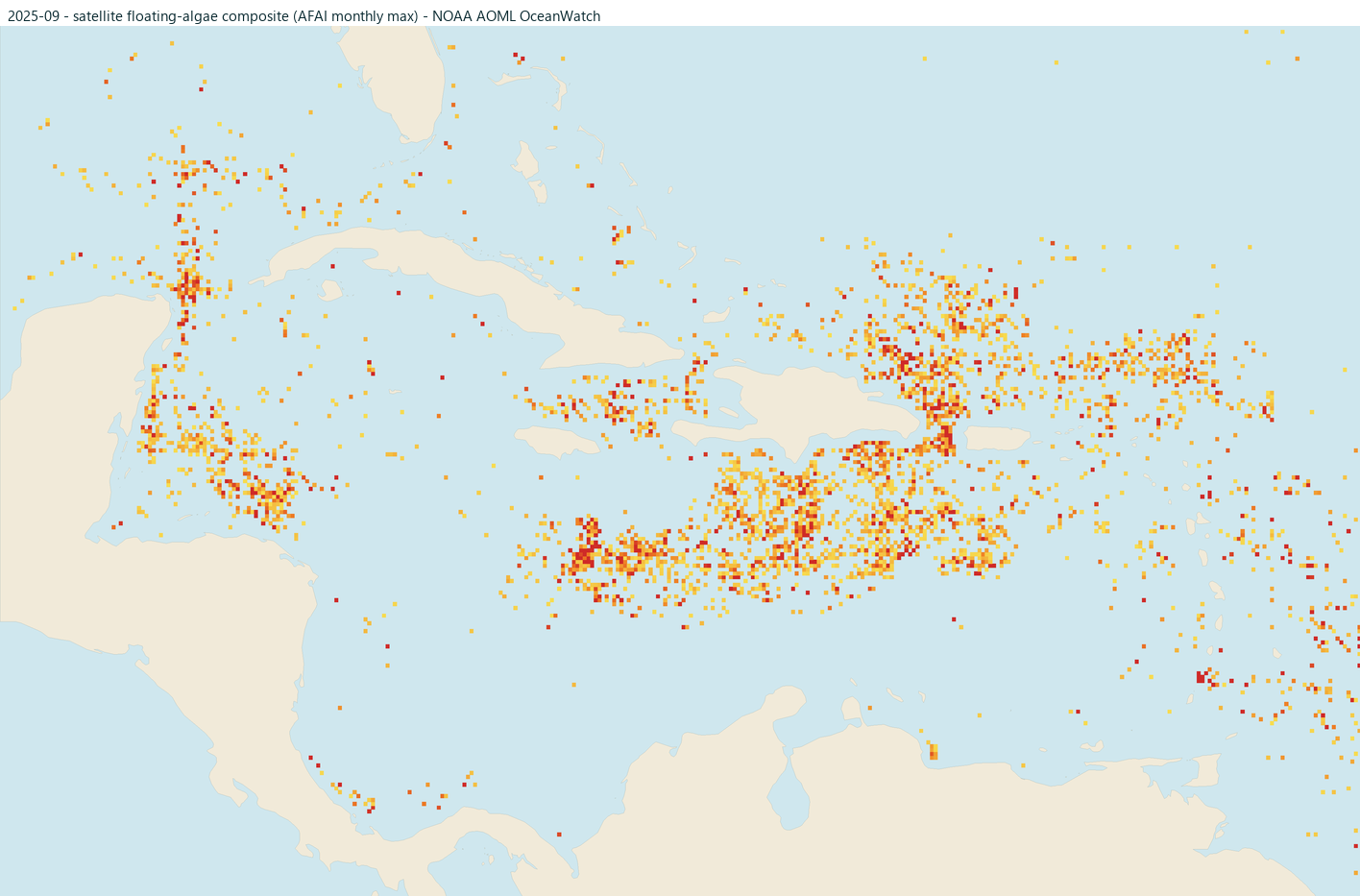
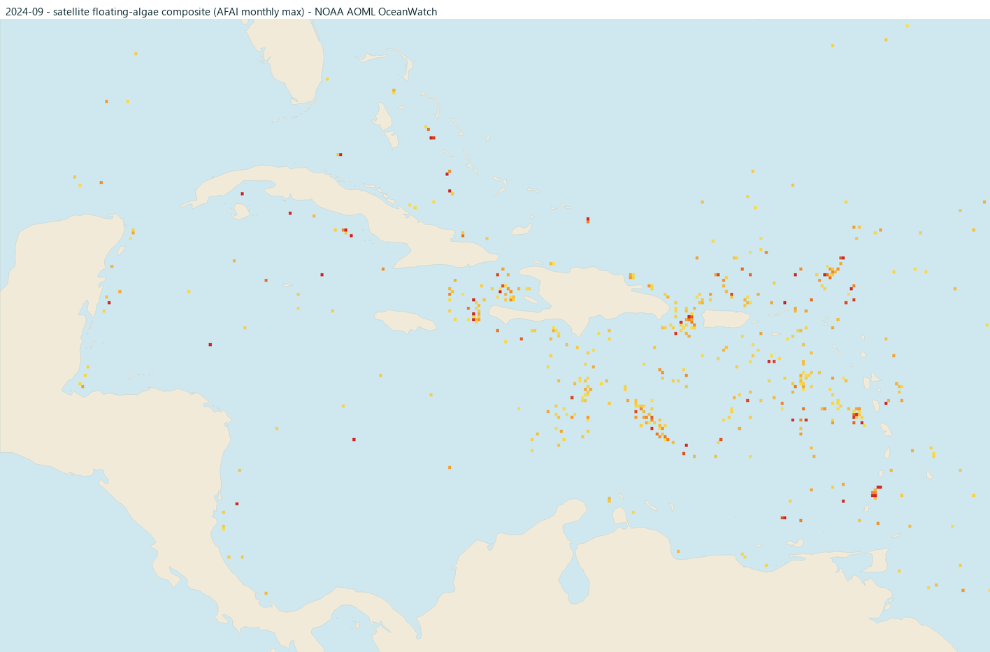
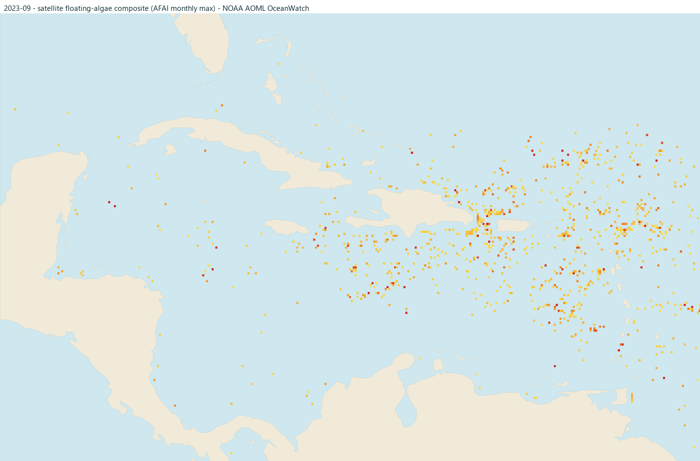
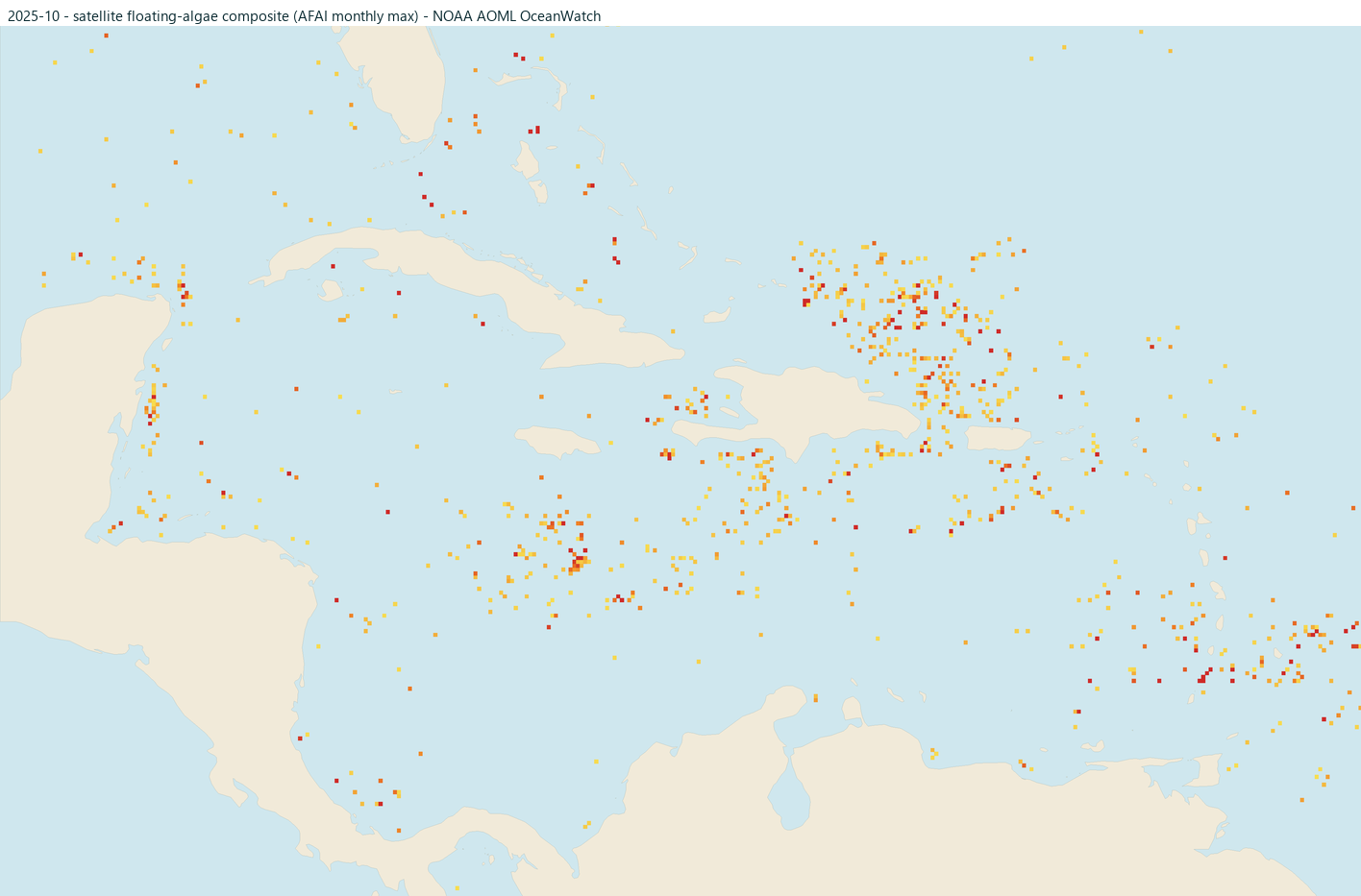
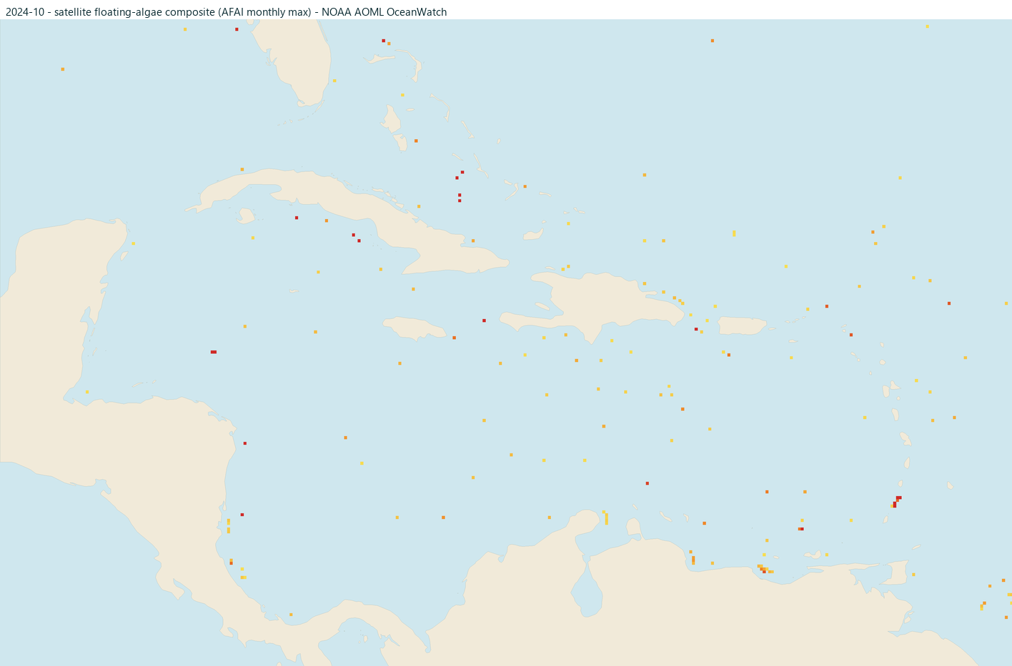
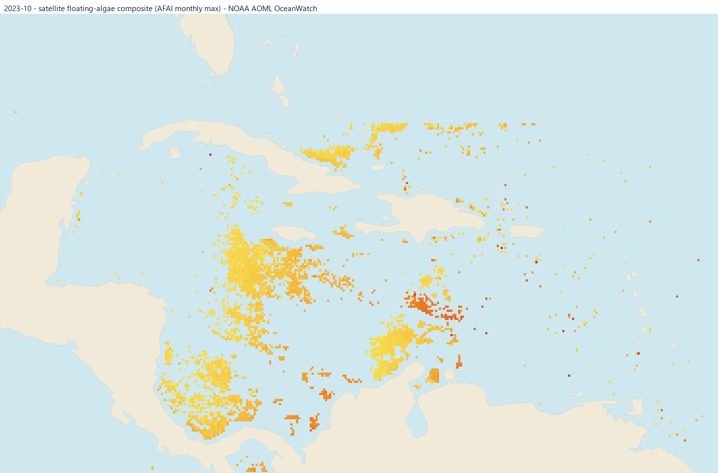
satellite-derived See for yourself: under each month are small satellite maps of this area from the past five years, showing where floating algae was detected offshore that month (brighter orange and red = stronger signal). They are raw detections, not risk ratings: clouds and sun glare can hide algae, offshore mats do not always reach shore, and the strip within about 20 km of the coast is blanked because the satellite signal is unreliable that close to land. Click any map to open that month's full Caribbean view.
The current month is open; any month expands with a click. Any year can surprise, in either direction, so for what is happening now trust today's risk level and a camera over the calendar.
January editorial typically lower
Often lower in the general Caribbean seasonal cycle.
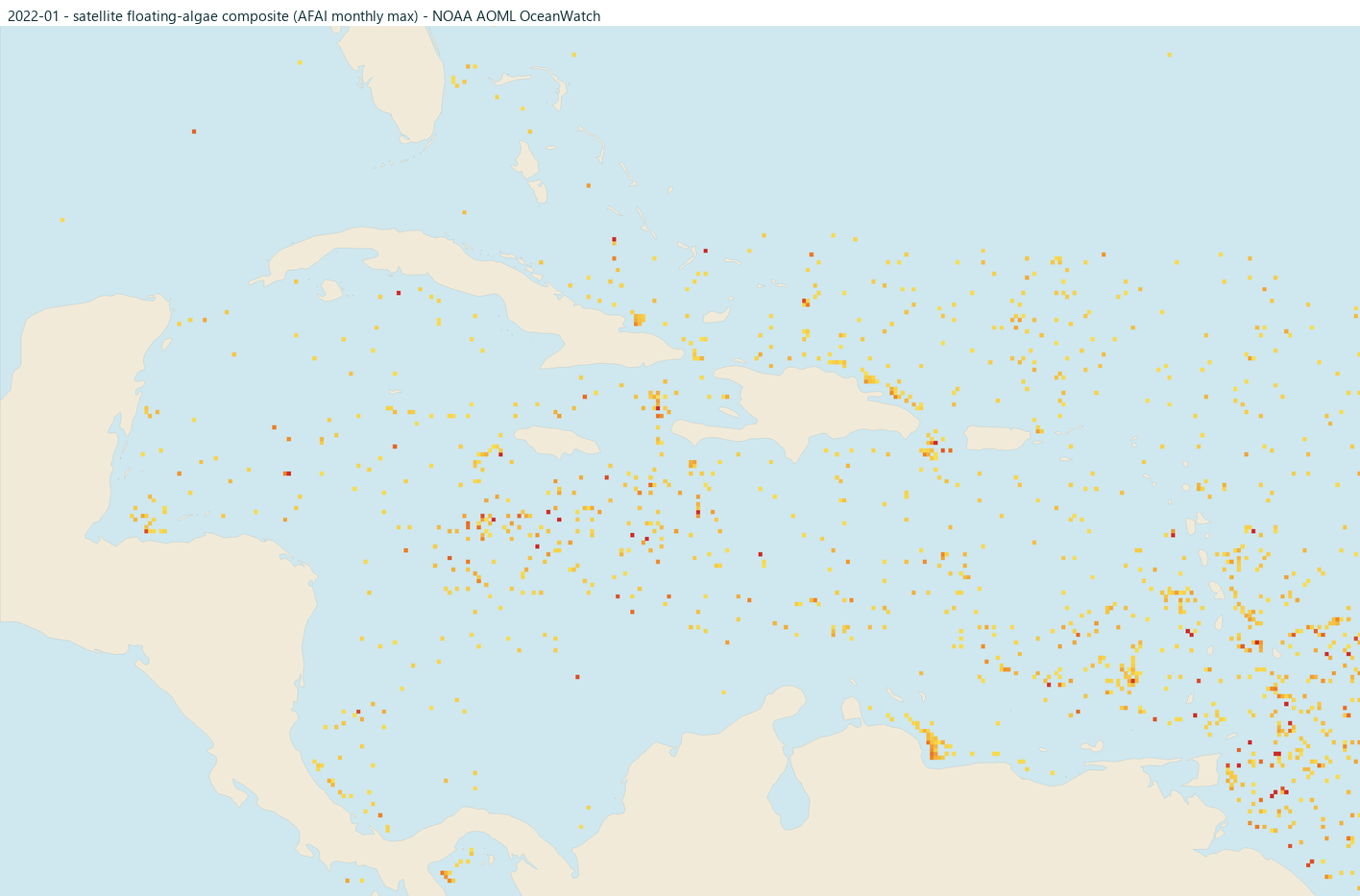
February editorial typically lower
Often lower, with the offshore season beginning to build.
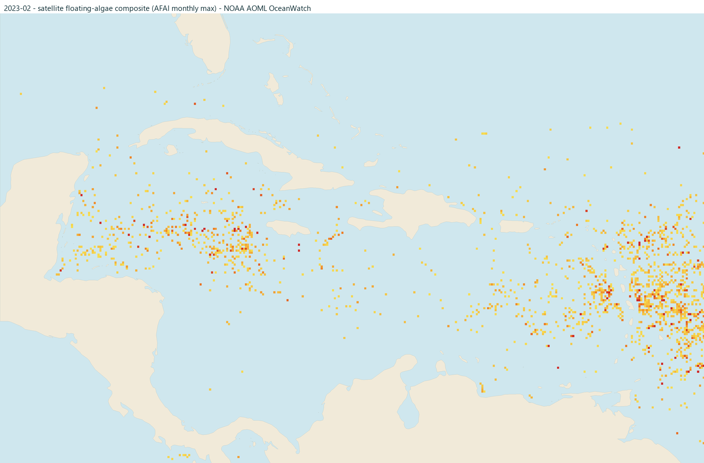
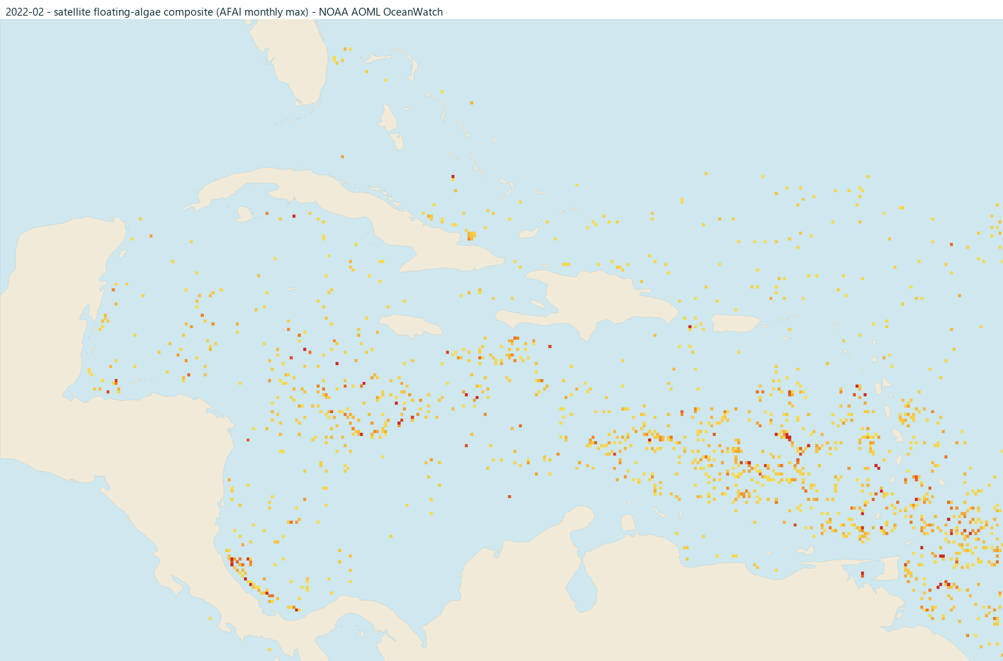
March editorial season building
The general Caribbean season is building.
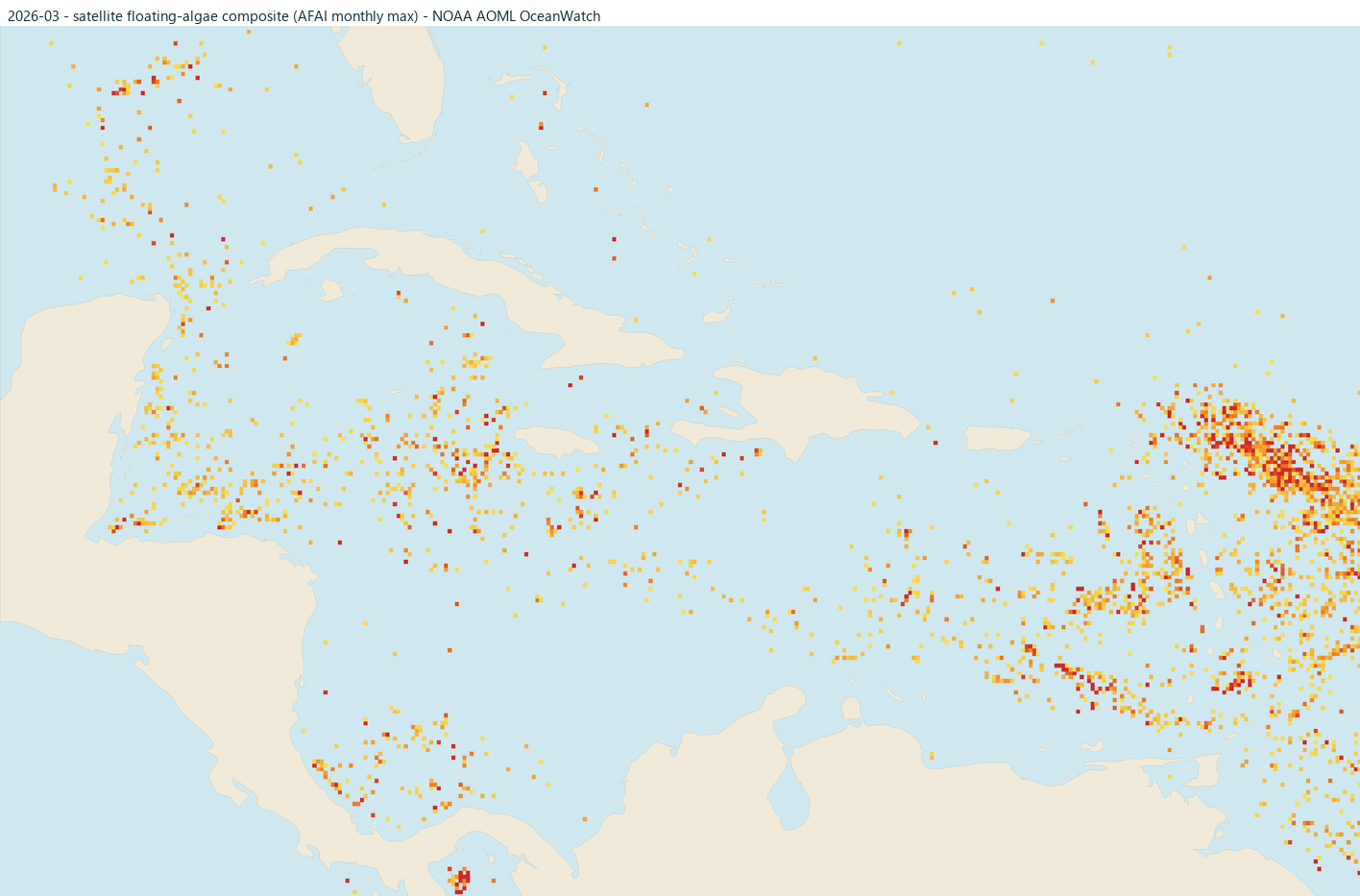
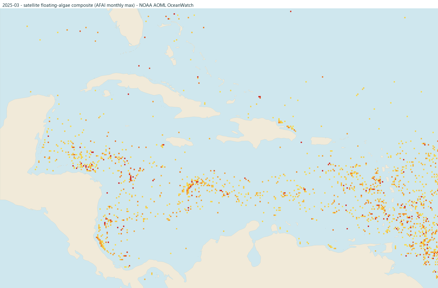
April editorial season building
The general Caribbean season is building.
May editorial typically higher
Often within the higher part of the general season.
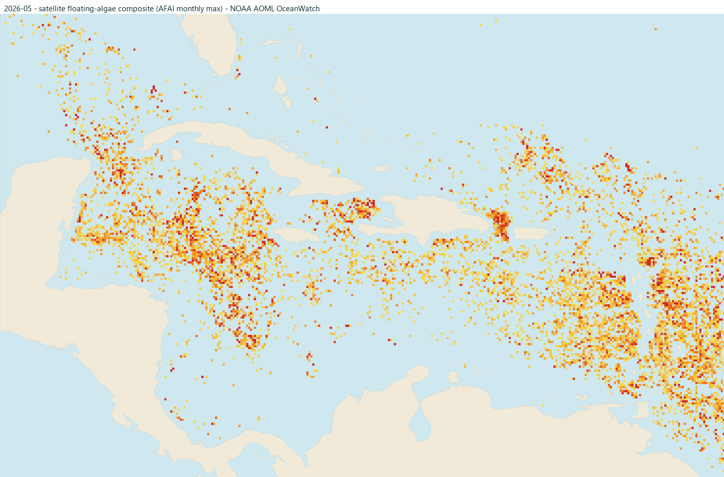
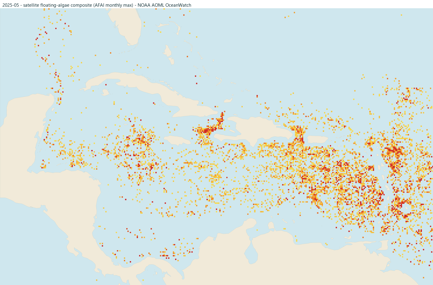
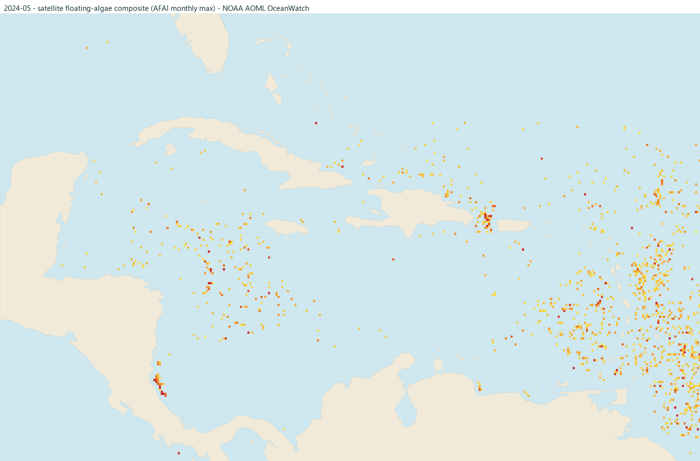
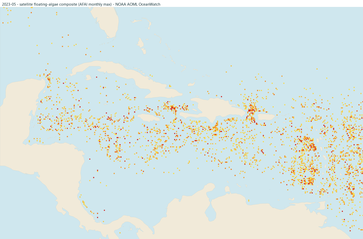
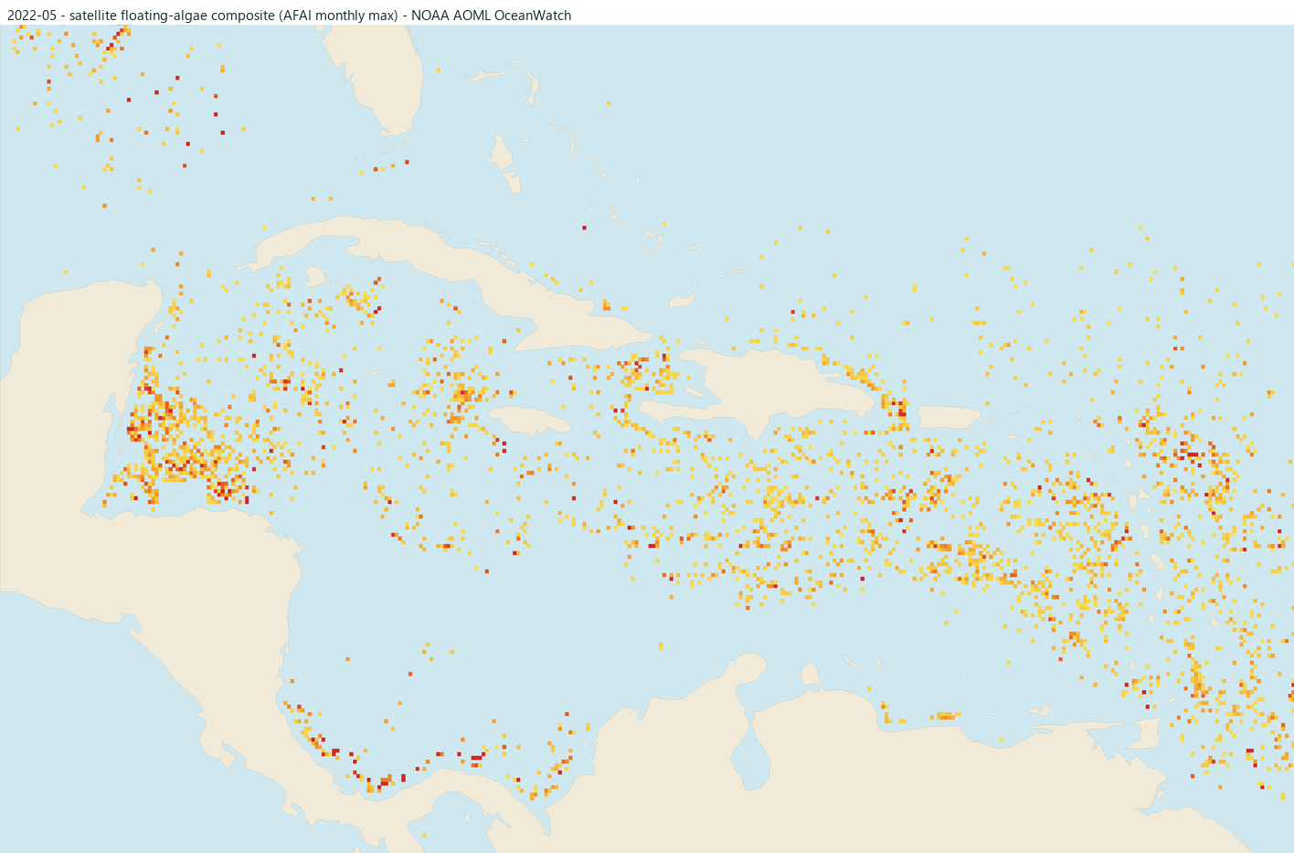
June editorial typically higher
Often within the higher part of the general season.
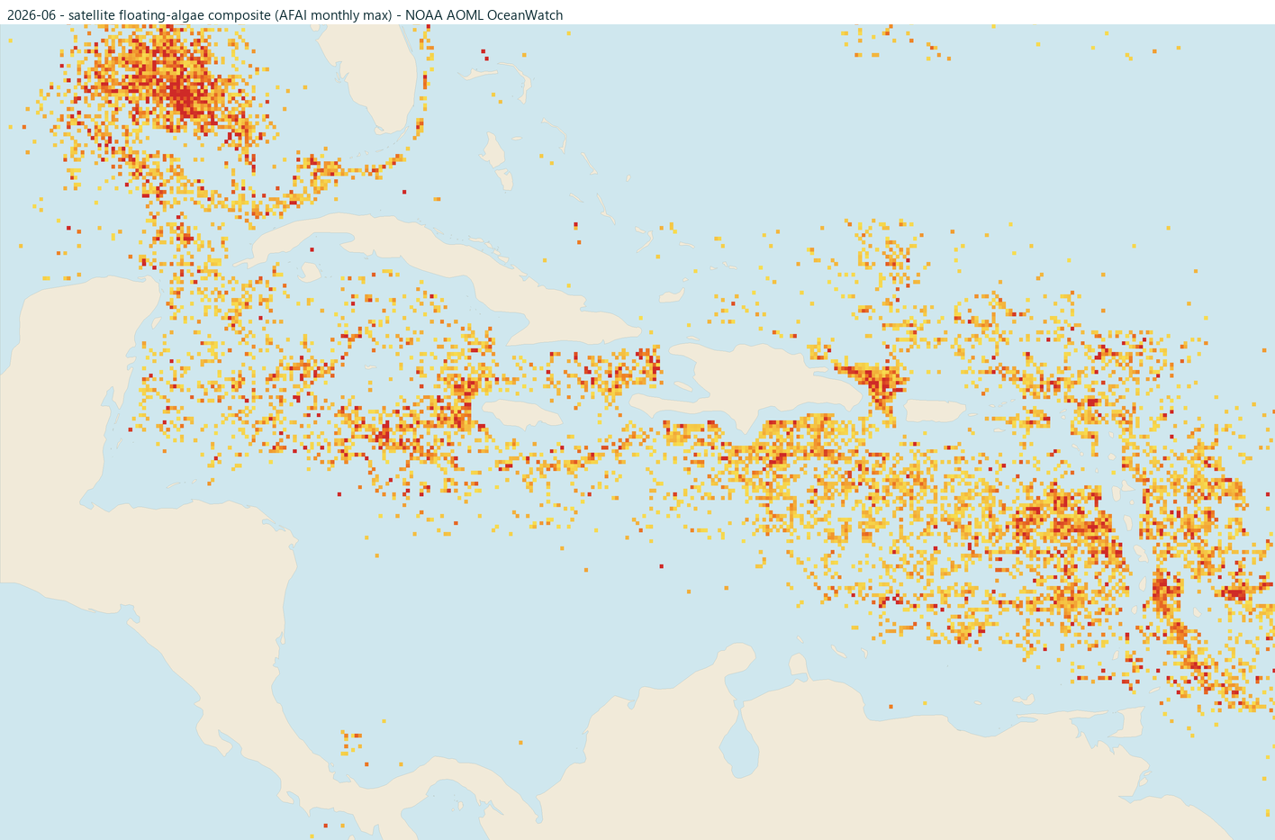
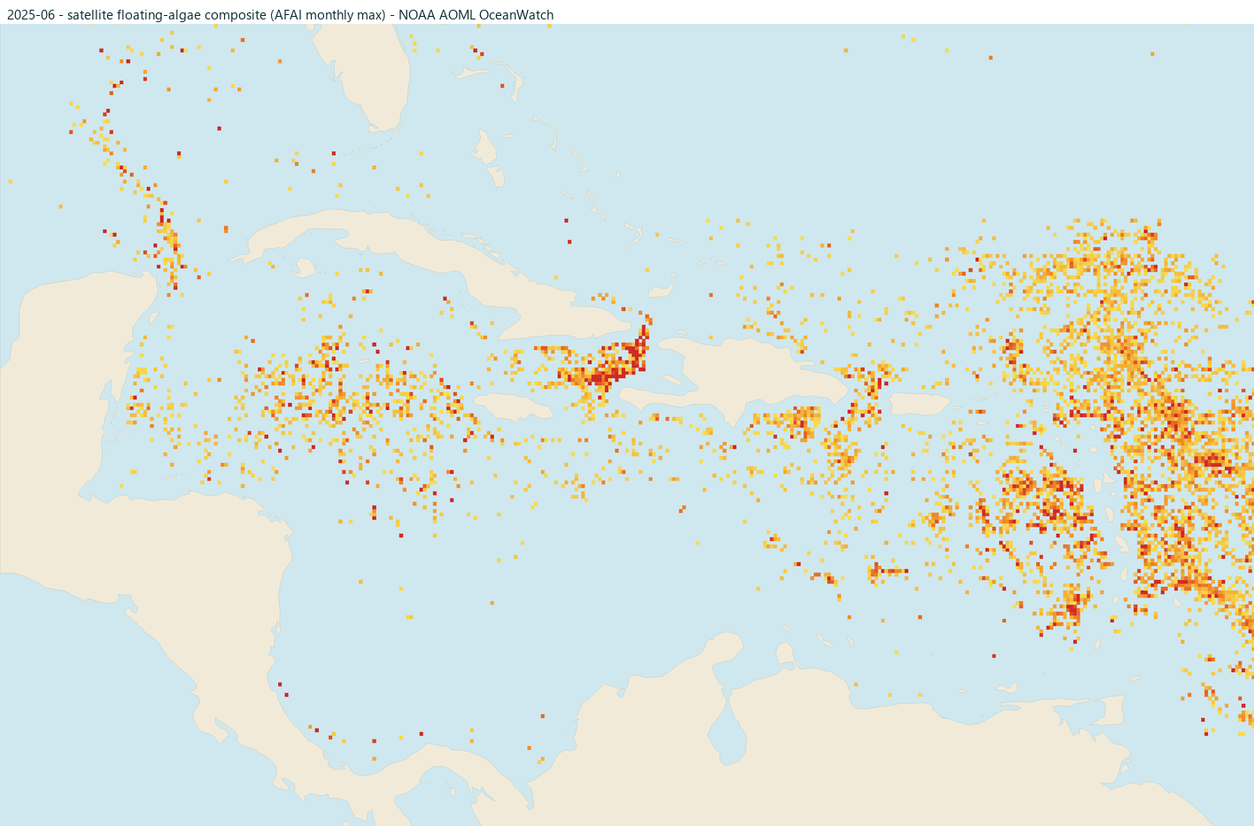
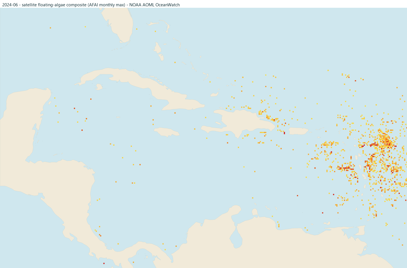
July editorial typically higher
Often within the higher part of the general season.
August editorial typically higher
The broader summer season can remain active.
September editorial season easing
The general Caribbean season often begins easing.
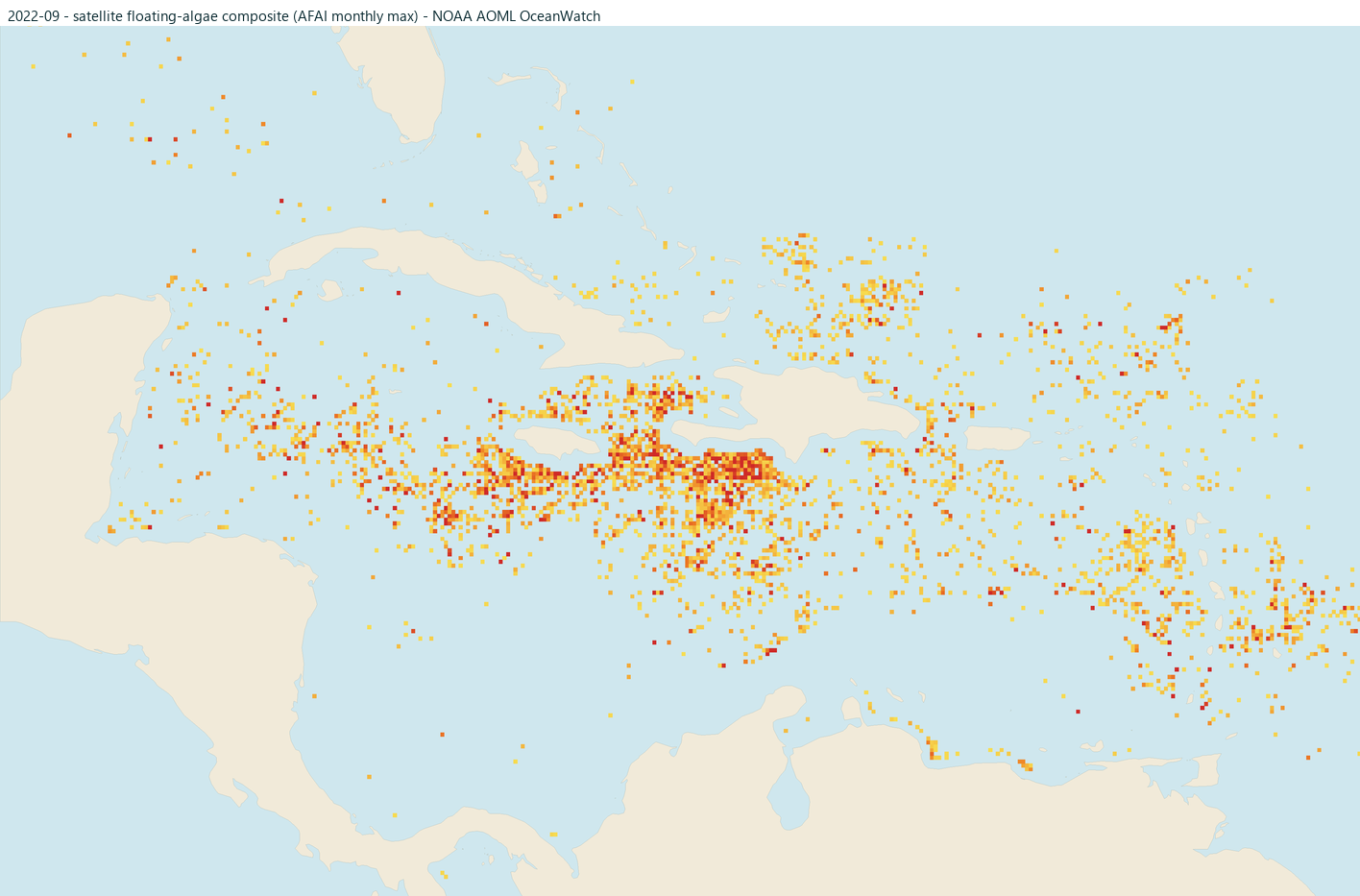
October editorial season easing
The general Caribbean season often continues easing.
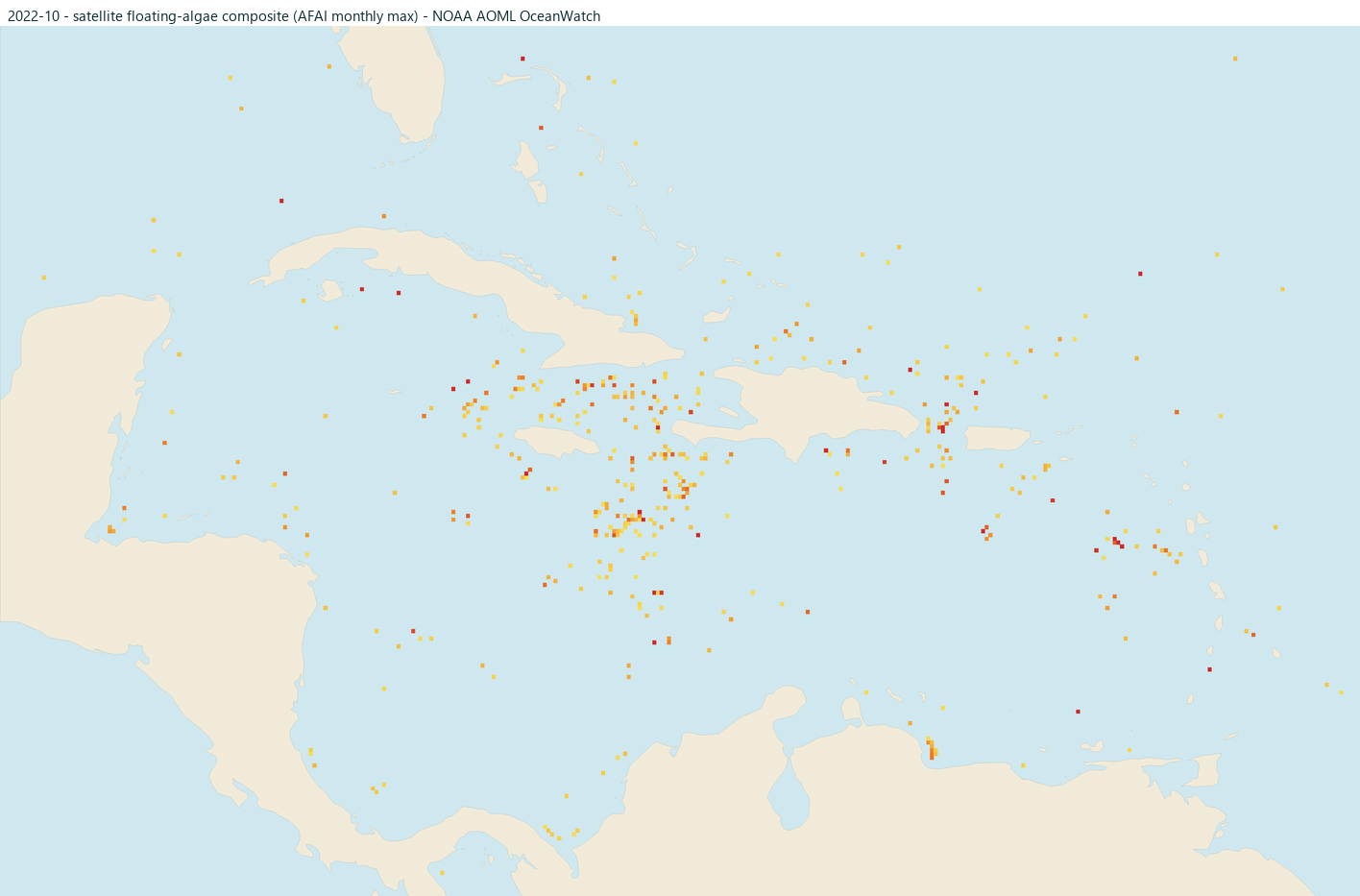
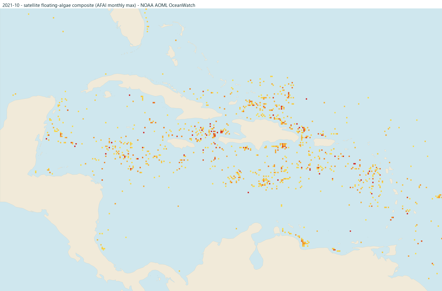
November editorial typically lower
Often lower in the general Caribbean seasonal cycle.
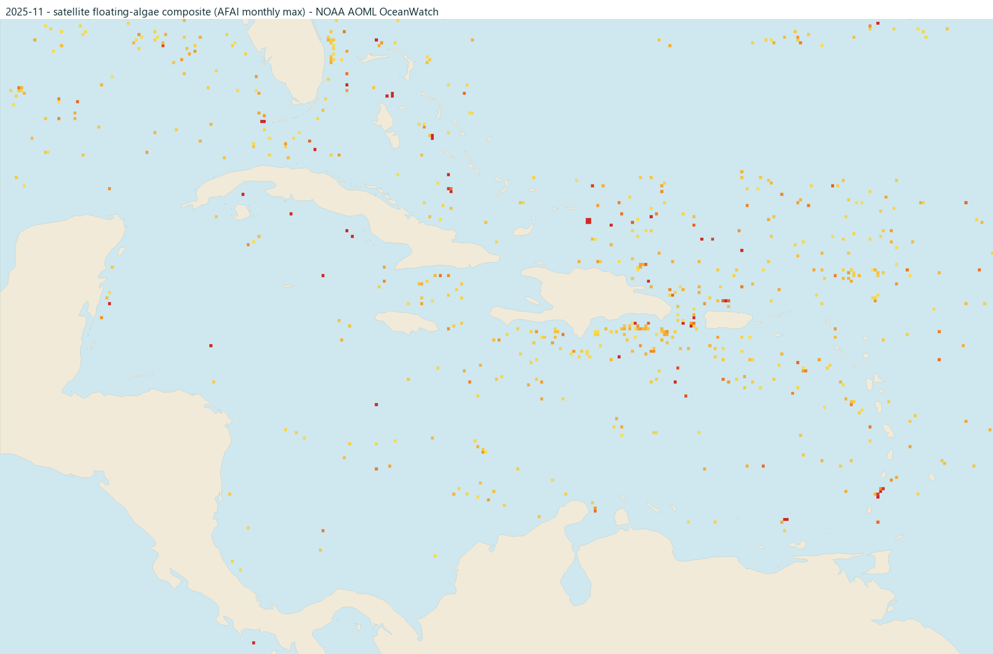
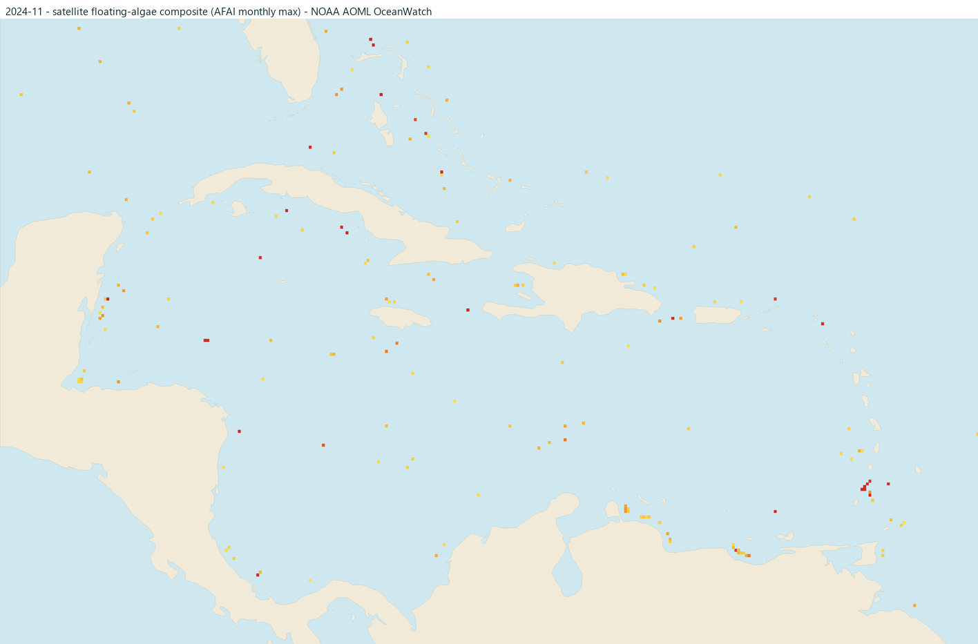
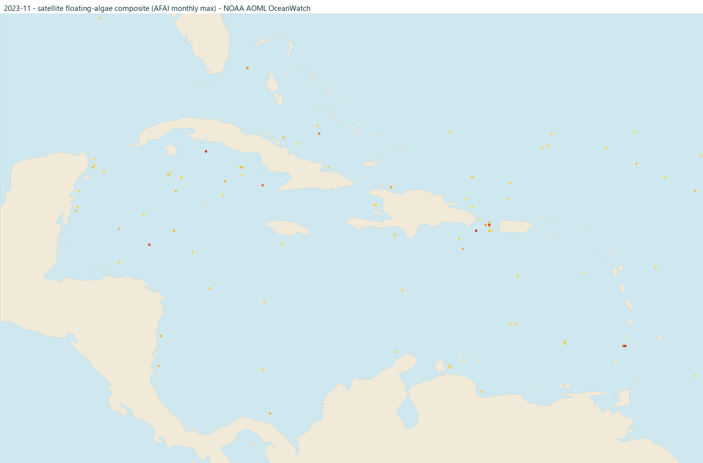
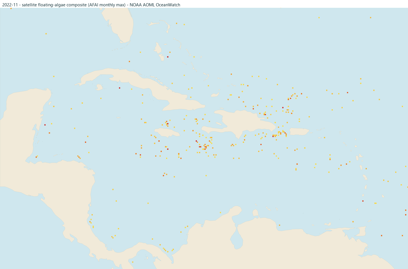
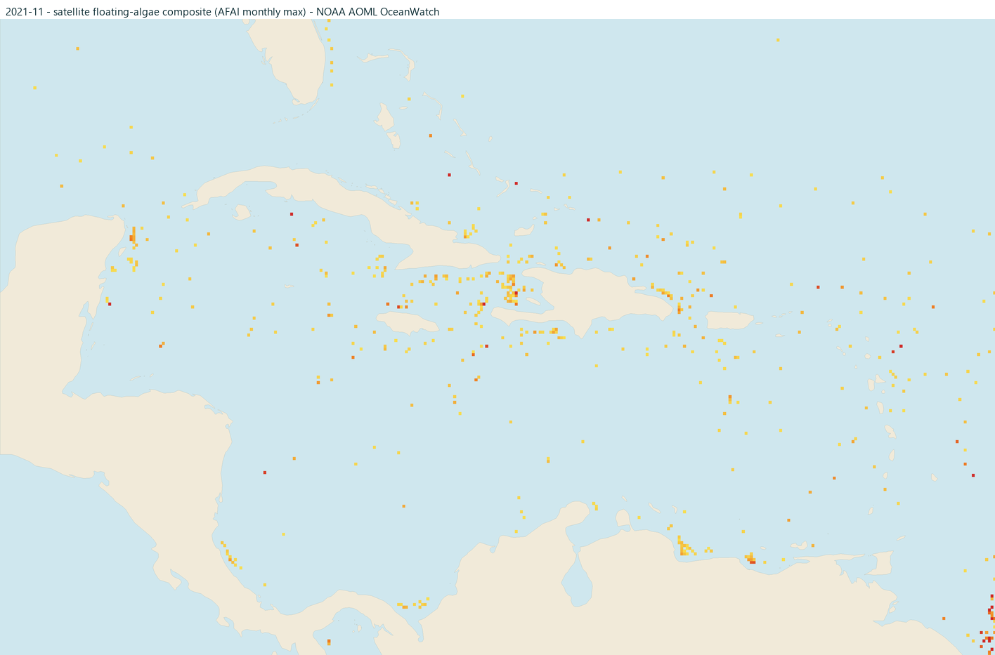
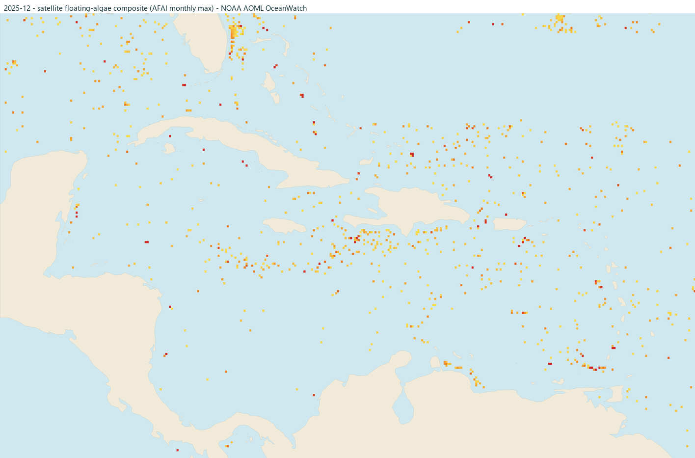
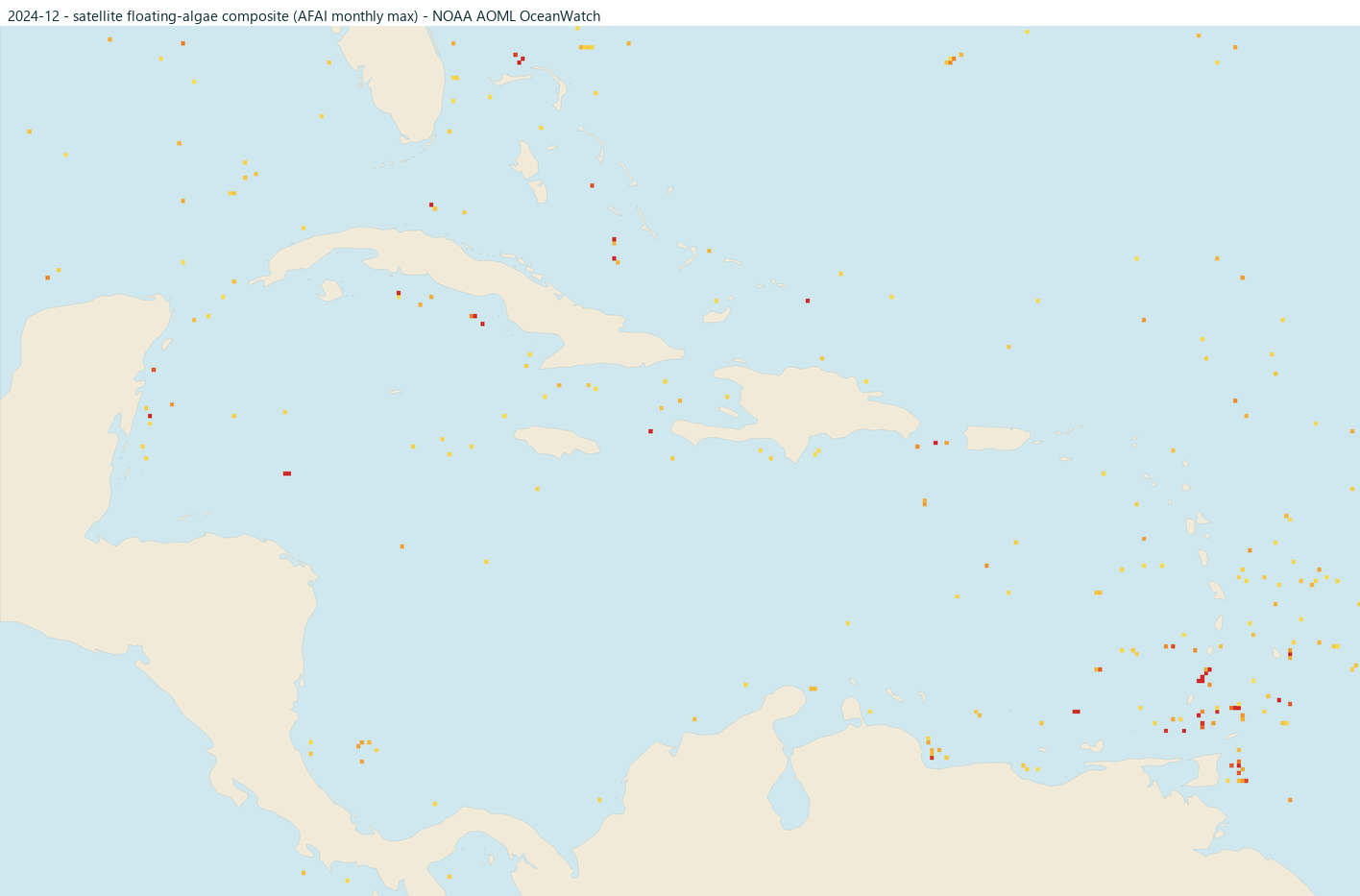
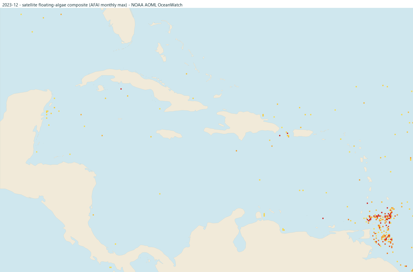
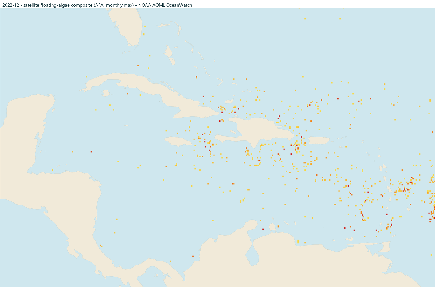
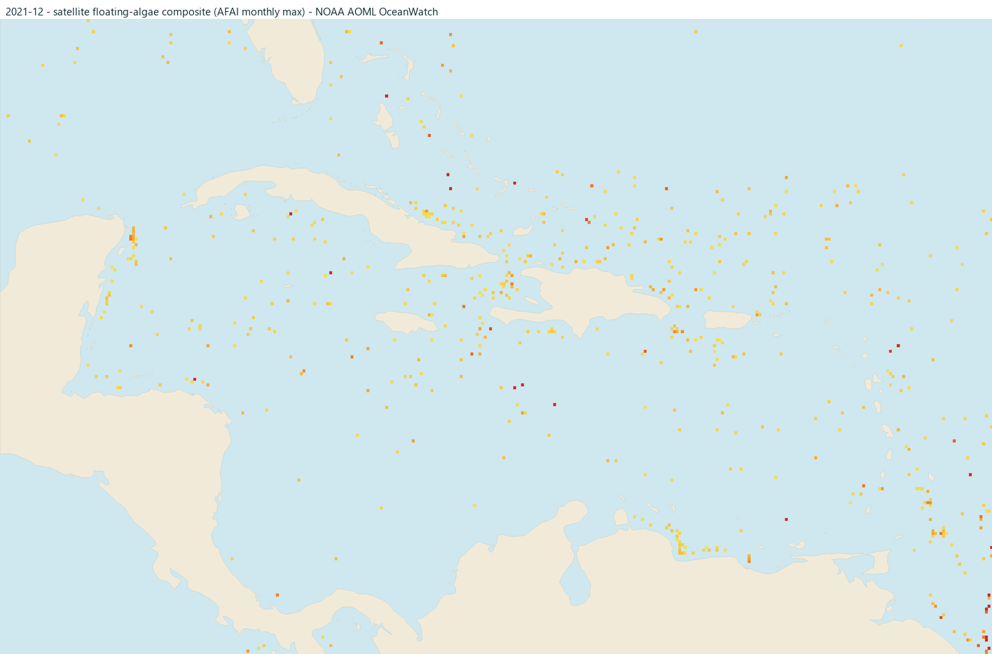
This stretch of coast
Why this beach, in particular
The segment follows the north coast from Cofresi past Playa Dorada to Cabarete. The DR's north coast faces the Atlantic differently than Punta Cana and often has different weeks, better and worse.
The risk level above is measured along this specific coastline, not the whole country. Two beaches a short drive apart can have very different days; see how the atlas works for the details.
editorial Often worth comparing: Skyline's Dominican Republic webcams include north-coast views. Reviewed 2026-08-13. Destination source
Questions travelers ask
FAQ
Does High mean the beach is covered in seaweed?
Not necessarily. High means NOAA's satellites see elevated amounts of sargassum approaching this coast, so the odds of a bad beach day are up. Wind, currents, and hotel cleanup crews decide what actually lands on your stretch of sand. A camera or a same-day photo from your hotel settles it.
Why is there no risk level showing?
Because we would be guessing. We hold the level back when coverage is insufficient or the observation fails our freshness checks. After 48 hours, a rating only remains visible with an age note if a successful check within 36 hours confirmed it was NOAA's latest release. After 120 hours it is withheld in all cases. No data beats bad data when you are booking a trip.
Can one hotel be clear while its neighbor is buried?
Yes, genuinely. Shore angle, offshore barriers, currents, and cleanup effort vary hotel to hotel, which is why this atlas rates coastlines, not resorts. Recent guest photos and a direct question to the hotel are your best tools at that scale.