Aruba · west-facing
Aruba Palm and Eagle Beach
Low
Head to head editorial
It is a three-way tie on geography: Aruba, Curacao, and Bonaire all put their main beach zones on leeward west coasts, the most sheltered setup this atlas tracks.
The reasoning
Pick among these three on trip factors, because the seaweed odds rarely will: all three coasts below face away from the open Atlantic. The one real caution is on Bonaire, where the windward east side around Lac Bay is far more exposed than the Kralendijk coast this atlas rates; if your plans center on that side, the card below does not describe it. As everywhere, a sheltered coast is odds rather than a promise, so glance at all three cards before booking.
Right now
Both measured from NOAA's update of . Each card rates one specific stretch of coast; open a destination for the full picture.
Aruba · west-facing
Curacao · west-facing
Caribbean Netherlands · west-facing
The record
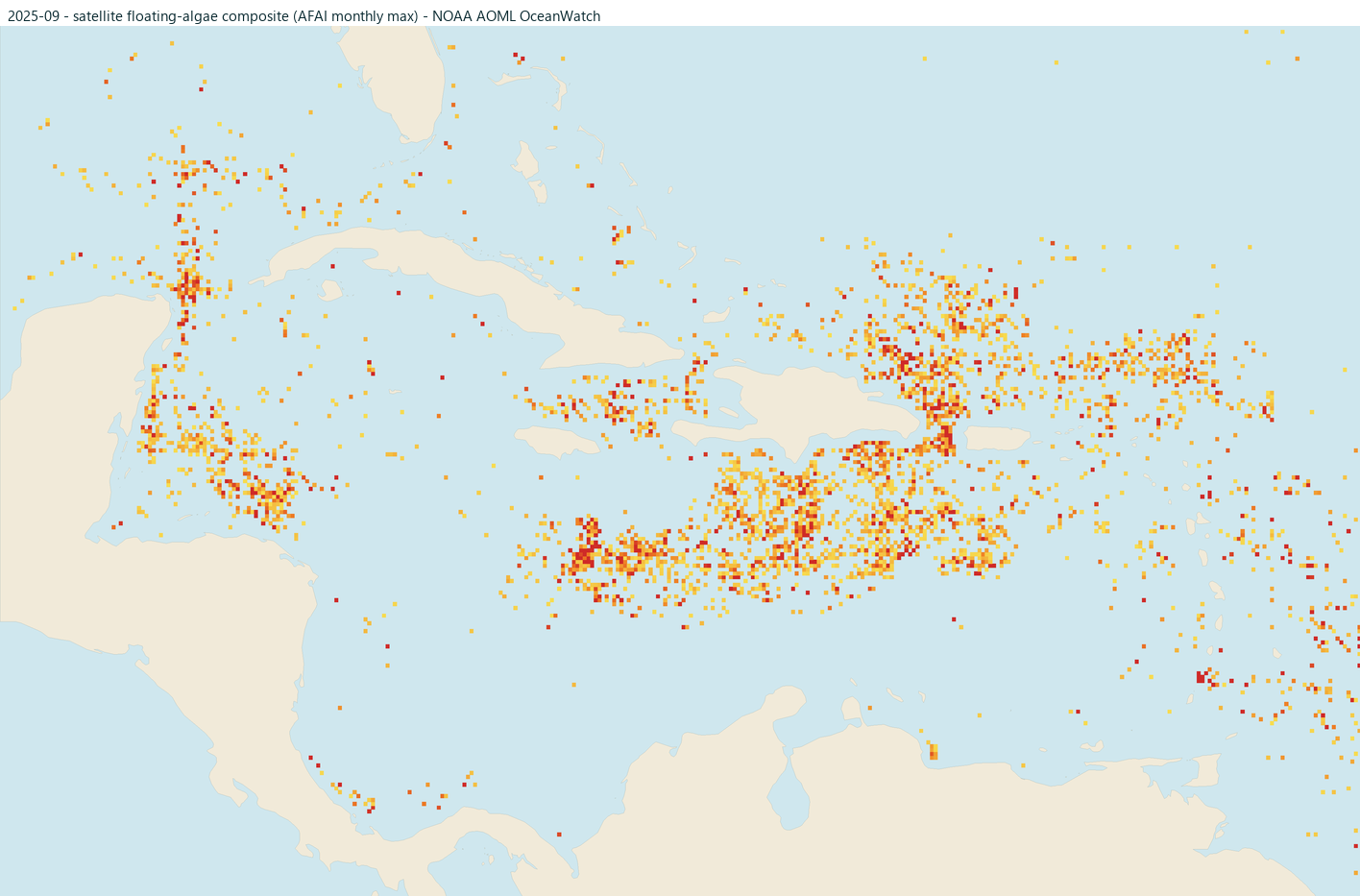
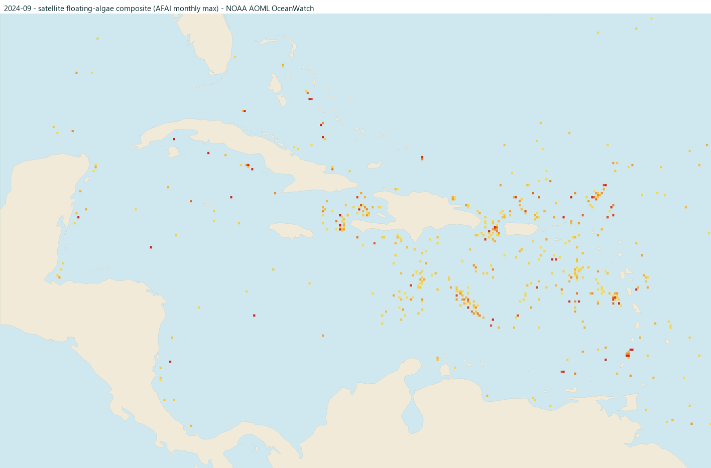
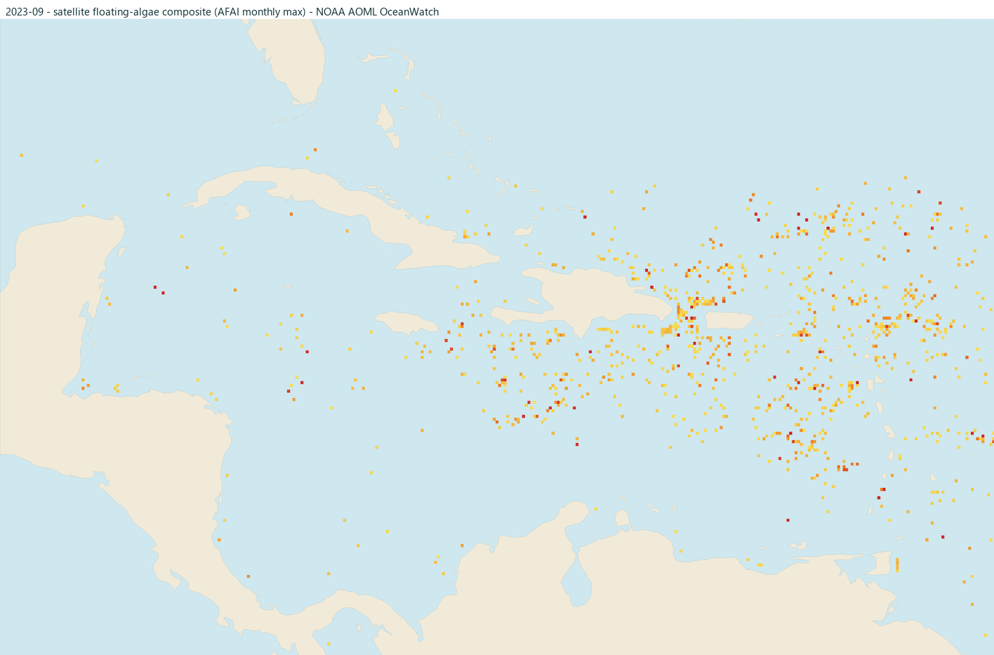
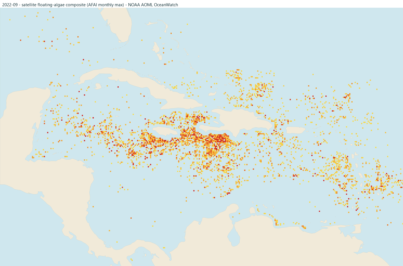
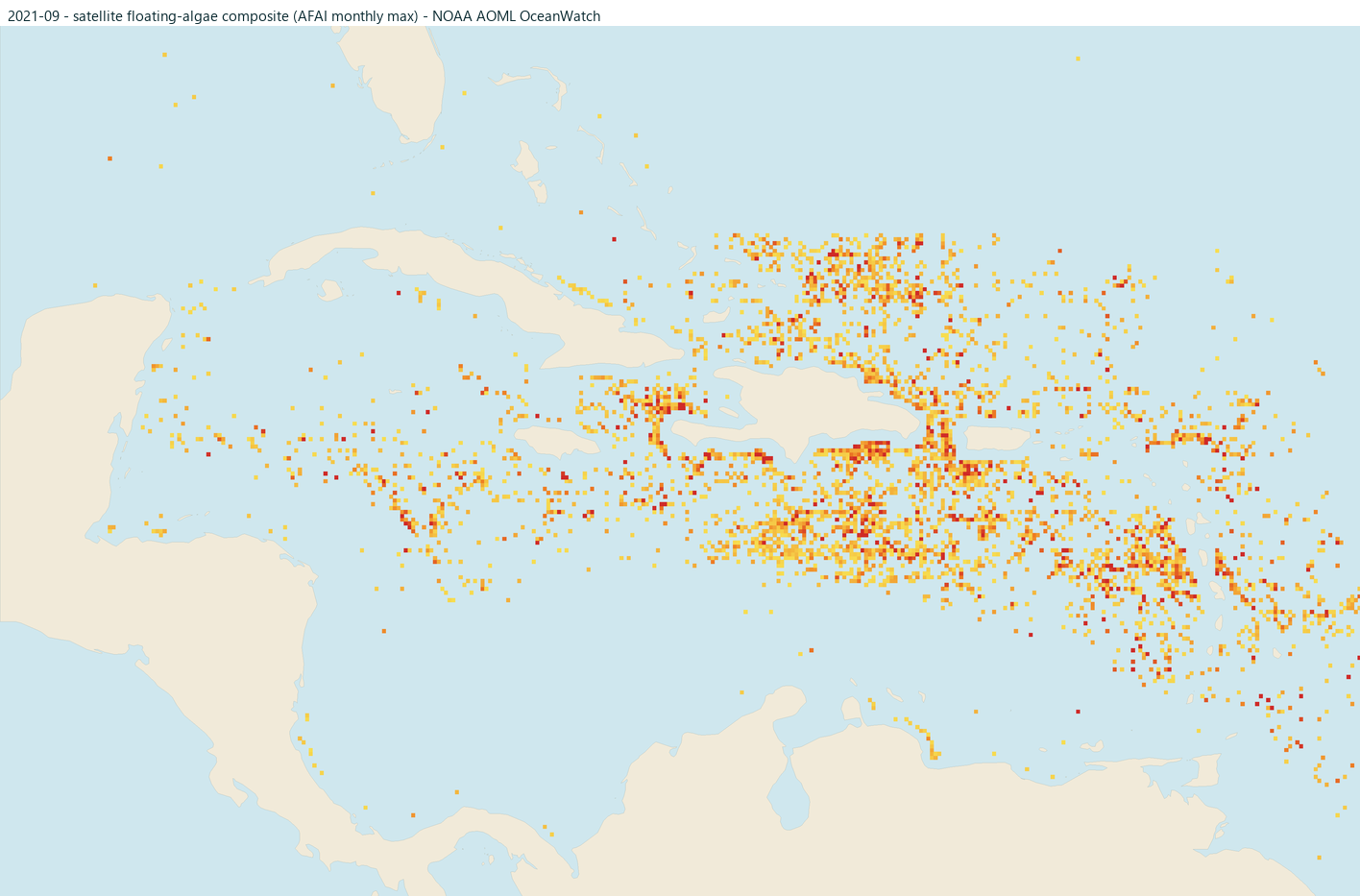
Raw satellite floating-algae detections near each coast for this month in each of the past five years (brighter orange and red = stronger signal). These are detections, not risk ratings: clouds and glare can hide algae, offshore mats do not always land, and the nearshore strip is blanked where the signal is unreliable. Click any map for that month's full Caribbean view.
Making the call
More head-to-heads on the compare page, or build a shortlist from scratch with where beaches stay clearer.